Enable Location

We need your location to show you interesting places around you

Discover nearby places

Find interesting locations and hidden gems around you

Precise directions

Get accurate directions and distances to places

Your location is never shared with other users. It's only used when you tap the location button.

Brokopondo Reservoir

Log in to your account

Start exploring — it's free

Trusted by 62,838 travelers worldwide

Continue with Google
Continue with Apple
or

We will send you a code to connect

By continuing, you accept our Terms and Conditions and our Privacy Policy

Check your inbox

We've sent a pincode in your inbox. Please enter the code below.

Brokopondo Reservoir

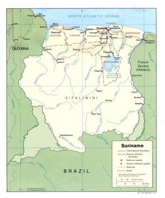
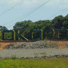
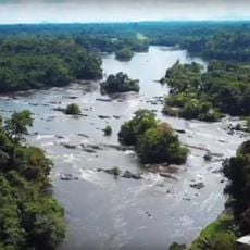
Brokopondo Reservoir, Artificial lake in Brokopondo District, Suriname

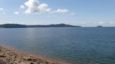
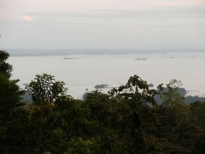
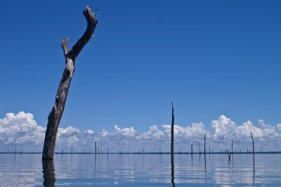
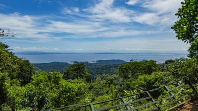
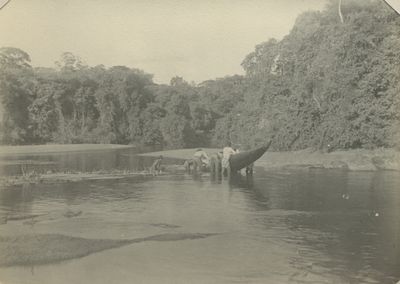
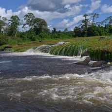
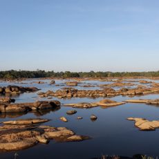
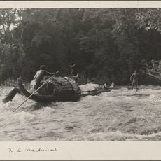
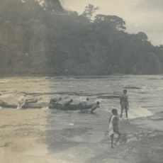
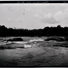
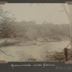
Brokopondo Reservoir is an artificial lake in Suriname that covers approximately 1,560 square kilometers of submerged forest. Countless dead tree trunks rise above the water surface, creating a distinctive landscape throughout the lake.

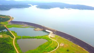
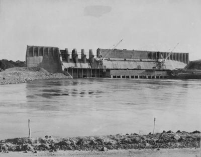
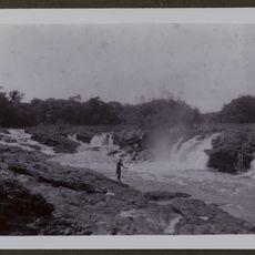
Construction of Afobaka Dam in 1964 created this reservoir by flooding the forest area. The project resulted in the relocation of approximately 5,000 Maroon inhabitants to newly established settlements.

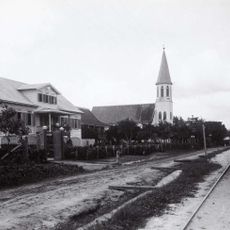
The reservoir reshaped the lives of local communities, leading to the creation of new villages where displaced people continue their traditions today. Residents of these settlements maintain their customs and way of living across the landscape.

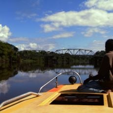
Visitors can explore the reservoir best by boat to see the dead trees up close and reach the various islands. Having a local guide is important for safe navigation and knowing the best routes for exploration.

The power station at Afobaka Dam generates about 95 percent of Suriname's electricity supply, making it a critical piece of the nation's infrastructure. This dependency reveals how much the country relies on this single project.

The community of curious travelers

AroundUs brings together thousands of curated places, local tips, and hidden gems, enriched daily by 60,000 contributors worldwide.

Start exploring
Location
Address
Litanie River
GPS coordinates
4.84056,-55.07306
Latest update
January 19, 2026 08:17
« Brokopondo Reservoir - Artificial lake in Brokopondo District, Suriname » is provided by Around Us (aroundus.com). Images and texts are derived from Wikimedia project under a Creative Commons license. You are allowed to copy, distribute, and modify copies of this page, under the conditions set by the license, as long as this note is clearly visible.

Discover hidden gems everywhere you go!

From secret cafés to breathtaking viewpoints, skip the crowded tourist spots and find places that match your style. Our app makes it easy with voice search, smart filtering, route optimization, and insider tips from travelers worldwide. Download now for the complete mobile experience.

Around Us App Screenshot

A unique approach to discovering new places

Le Figaro

All the places worth exploring

France Info

A tailor-made excursion in just a few clicks

20 Minutes

Around Us
Travel Guide & Maps
Download

Send to your phone

QR Code
1

Open the camera app on your mobile.

2

Point at the QR code with your camera. A notification will appear.

3

Tap the notification to open the link.