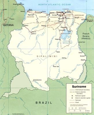
Suriname, Independent nation in northern South America, bordering Brazil, Guyana and French Guiana
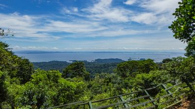
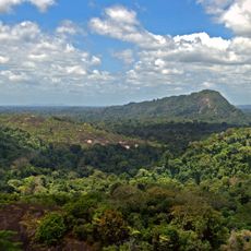
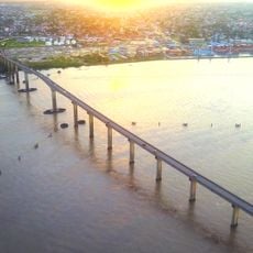
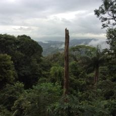
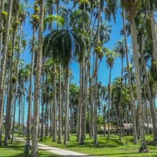
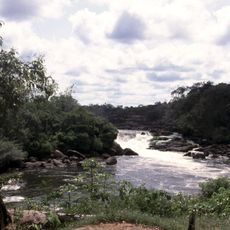
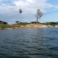
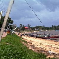
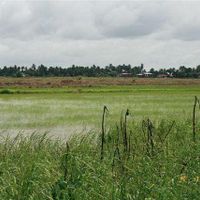
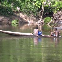
This South American nation lies along the Atlantic coast, covered for more than nine-tenths by rainforest through which many rivers flow. The coastline stretches about 240 miles and includes mangrove forest and wetlands, while the land rises from coastal plains to forested hills in the south, where the highest point reaches 4,219 feet.
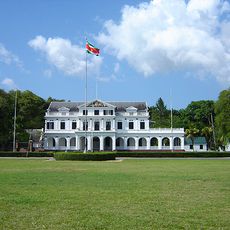
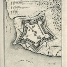
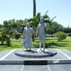
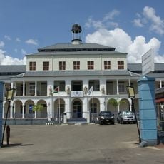
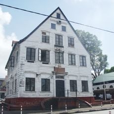
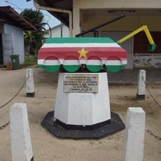
The Dutch took control during the 17th century and developed plantations worked by enslaved Africans until 1863. After abolition, contract laborers from India and Java were brought in, before independence was achieved on November 25, 1975.
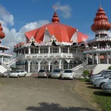
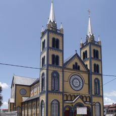
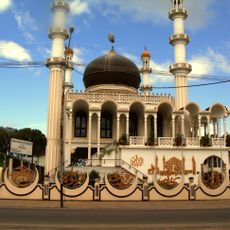
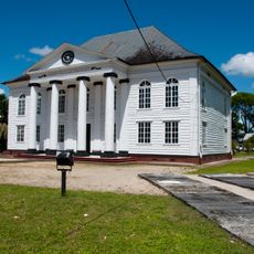
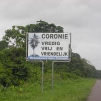
The name comes from the indigenous Surinen people who once lived along the riverbanks. Today you hear Dutch, Sranan Tongo, Hindi, Javanese and several other languages spoken in the streets, while mosques stand next to temples and churches.
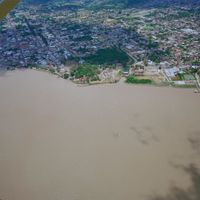
Travelers need a tourist card for 25 euros per person, available before departure to Paramaribo at Amsterdam Airport Schiphol. The dry season from February to April and August to November offers better conditions for trips into the interior, while the international airport sits about 28 miles south of the capital with taxis and car rentals at the terminal.
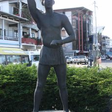
The Central Suriname Nature Reserve covers 1.6 million hectares of primary tropical forest with 1,890 plant species and 440 bird species. As the only Dutch-speaking nation in South America, it hosts more than 15 ethnic groups, representing one of the highest diversities per capita on the continent.
The community of curious travelers
AroundUs brings together thousands of curated places, local tips, and hidden gems, enriched daily by 60,000 contributors worldwide.