Enable Location

We need your location to show you interesting places around you

Discover nearby places

Find interesting locations and hidden gems around you

Precise directions

Get accurate directions and distances to places

Your location is never shared with other users. It's only used when you tap the location button.

Brokopondo District

Log in to your account

Start exploring — it's free

Trusted by 60,648 travelers worldwide

Continue with Google
Continue with Apple
or

We will send you a code to connect

By continuing, you accept our Terms and Conditions and our Privacy Policy

Check your inbox

We've sent a pincode in your inbox. Please enter the code below.

Brokopondo District

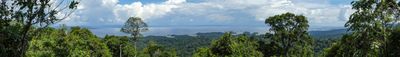
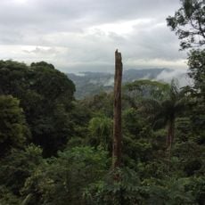
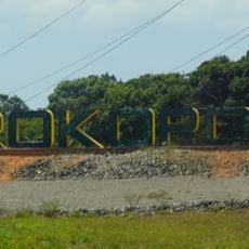
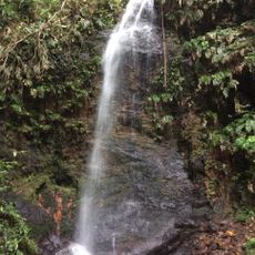
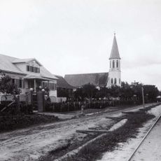
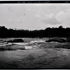
Brokopondo District, Rainforest administrative region in central Suriname

Description

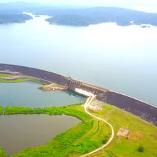
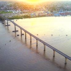
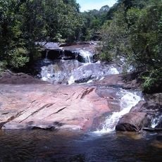
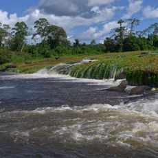
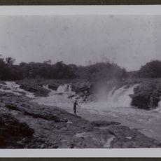
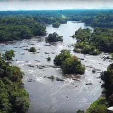
Brokopondo is an administrative district in central Suriname covered by dense rainforest and dominated by a large reservoir. The territory includes the Afobaka Dam, a major hydroelectric facility, and spans varied forest landscapes across its extent.

History

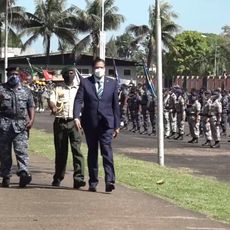
The district was created in 1959 when the government separated it from Suriname District to build the Afobaka hydroelectric project. This separation marked a major shift in the nation's infrastructure development and energy production.

Culture

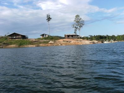
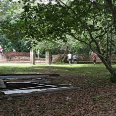
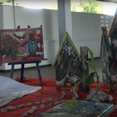
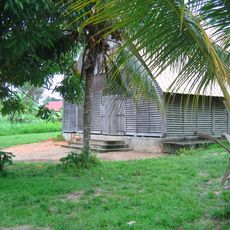
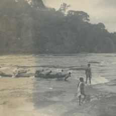
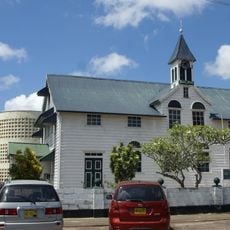
Maroon communities living here have maintained African traditions and customs passed down through generations in their forest settlements. These groups shape the daily life and cultural identity of the region.

Practical

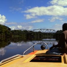
The Avobakaweg road is the main connection to Paramaribo and the primary route through the forested region. Plan visits during drier months when forest roads are more accessible and travel conditions are better.

Did you know?

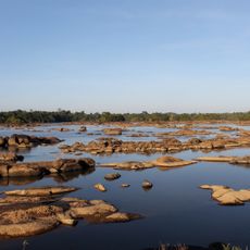
The creation of the Brokopondo Reservoir in 1964 forced thousands of residents to relocate, and new settlements were established across the region. This event permanently altered the population distribution and settlement patterns of the area.

Location
Capital city
Brokopondo
Shares border with
Sipaliwini District, Para District
GPS coordinates
4.77250,-55.12944
Latest update
December 10, 2025 16:25

AroundUs brings together thousands of curated places, local tips, and hidden gems, enriched daily by 60,000 contributors worldwide. Discover all places nearby (Suriname).

« Brokopondo District - Rainforest administrative region in central Suriname » is provided by Around Us (aroundus.com). Images and texts are derived from Wikimedia project under a Creative Commons license. You are allowed to copy, distribute, and modify copies of this page, under the conditions set by the license, as long as this note is clearly visible.

Discover hidden gems everywhere you go!

From secret cafés to breathtaking viewpoints, skip the crowded tourist spots and find places that match your style. Our app makes it easy with voice search, smart filtering, route optimization, and insider tips from travelers worldwide. Download now for the complete mobile experience.

Around Us App Screenshot

A unique approach to discovering new places

Le Figaro

All the places worth exploring

France Info

A tailor-made excursion in just a few clicks

20 Minutes

Around Us
Travel Guide & Maps
Download

Send to your phone

QR Code
1

Open the camera app on your mobile.

2

Point at the QR code with your camera. A notification will appear.

3

Tap the notification to open the link.