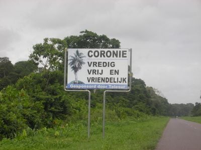
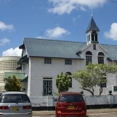
Coronie District, Agricultural district in northern Suriname.
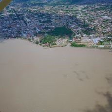
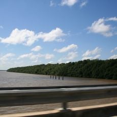
Coronie District occupies flat coastal terrain in northern Suriname, extending across land shaped by mangrove forests, wetlands, and agricultural fields. The landscape transitions between forested areas and open fields used for farming and livestock raising.
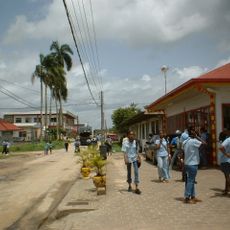
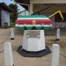
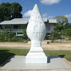
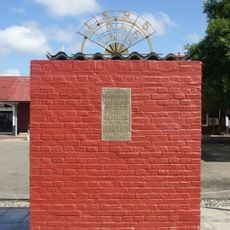
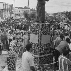
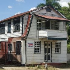
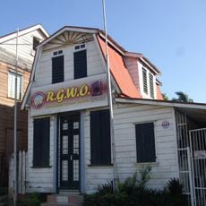
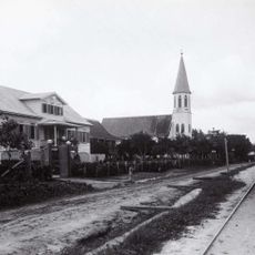
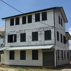
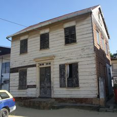
The district emerged from English and Scottish colonial plantations established in 1808, with Burnside serving as the region's first settlement. These plantation origins shaped the area's agricultural focus that continues to define it today.
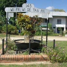
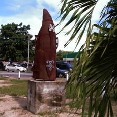
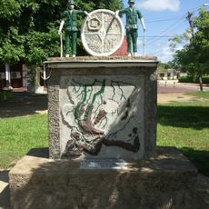
The district population of 3,391 residents maintains traditions through agricultural festivals, with Creole and Hindustani communities forming the main ethnic groups.
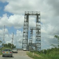
The East-West Connection road links the district capital Totness to Paramaribo and larger towns, forming the main transportation corridor. Visiting requires planning ahead since facilities and services spread across the flat landscape, and travel between areas can take considerable time.
The area protects three nature reserves: Peruvia, Bigi Pan, and Noord Coronie, which together safeguard large coastal ecosystems. These reserves form one of the region's most important refuges for wildlife and migratory birds, offering significant value for nature enthusiasts.
The community of curious travelers
AroundUs brings together thousands of curated places, local tips, and hidden gems, enriched daily by 60,000 contributors worldwide.