Enable Location

We need your location to show you interesting places around you

Discover nearby places

Find interesting locations and hidden gems around you

Precise directions

Get accurate directions and distances to places

Your location is never shared with other users. It's only used when you tap the location button.

Nickerie District

Log in to your account

Start exploring — it's free

Trusted by 60,664 travelers worldwide

Continue with Google
Continue with Apple
or

We will send you a code to connect

By continuing, you accept our Terms and Conditions and our Privacy Policy

Check your inbox

We've sent a pincode in your inbox. Please enter the code below.

Nickerie District

Nickerie District, Agricultural district in northwestern Suriname.

Description

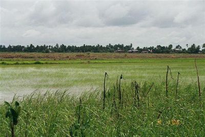
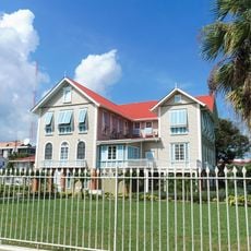
Nickerie District is an agricultural region in northwestern Suriname along the Atlantic Ocean coast, stretching between the Corantijn River and Guyana. Its capital Nieuw-Nickerie has a port for seagoing vessels that handles the export of rice, bananas, and farm equipment.

History

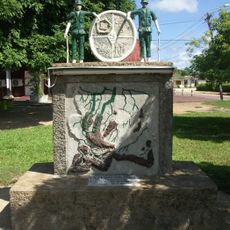
The first plantation in the district received approval from Governor Jurriaan François de Friderici in 1797 and attracted Scottish and English settlers during British occupation. This early growth shaped the region's development as a major agricultural area.

Culture

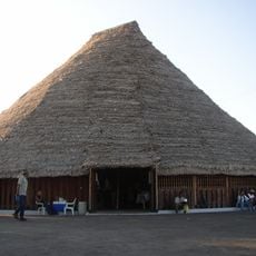
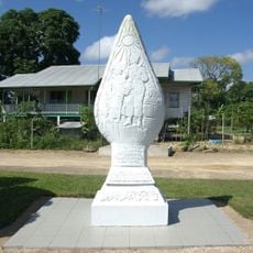
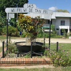
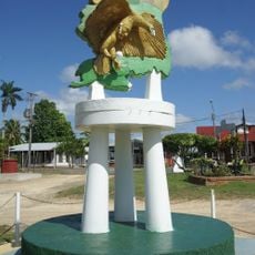
The district is home to Indo-Surinamese, Javanese, and Afro-Surinamese communities who maintain their own celebrations and food traditions in villages and rural areas. This diversity appears in the houses, markets, and daily life of Nieuw-Nickerie and smaller settlements.

Practical

Visitors should expect tropical weather and heavy rainfall, especially during rainy seasons. The best time to explore is during drier months when roads are more passable and the countryside is easier to access.

Did you know?

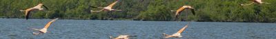
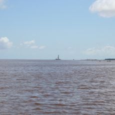
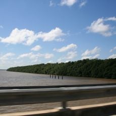
The Bigi Pan Nature Reserve is a large wetland with mangrove forests where scarlet ibis, flamingos, and caimans live. This protected area offers wildlife viewing and shows the natural side of the region beyond the farmland.

Location
Capital city
Nieuw Nickerie
Shares border with
Coronie District, Sipaliwini District
GPS coordinates
5.76722,-56.87028
Latest update
December 10, 2025 15:58

AroundUs brings together thousands of curated places, local tips, and hidden gems, enriched daily by 60,000 contributors worldwide. Discover all places nearby (Suriname).

« Nickerie District - Agricultural district in northwestern Suriname » is provided by Around Us (aroundus.com). Images and texts are derived from Wikimedia project under a Creative Commons license. You are allowed to copy, distribute, and modify copies of this page, under the conditions set by the license, as long as this note is clearly visible.

Discover hidden gems everywhere you go!

From secret cafés to breathtaking viewpoints, skip the crowded tourist spots and find places that match your style. Our app makes it easy with voice search, smart filtering, route optimization, and insider tips from travelers worldwide. Download now for the complete mobile experience.

Around Us App Screenshot

A unique approach to discovering new places

Le Figaro

All the places worth exploring

France Info

A tailor-made excursion in just a few clicks

20 Minutes

Around Us
Travel Guide & Maps
Download

Send to your phone

QR Code
1

Open the camera app on your mobile.

2

Point at the QR code with your camera. A notification will appear.

3

Tap the notification to open the link.