Enable Location

We need your location to show you interesting places around you

Discover nearby places

Find interesting locations and hidden gems around you

Precise directions

Get accurate directions and distances to places

Your location is never shared with other users. It's only used when you tap the location button.

Log in to your account

Start exploring — it's free

Trusted by 60,660 travelers worldwide

Continue with Google
Continue with Apple
or

We will send you a code to connect

By continuing, you accept our Terms and Conditions and our Privacy Policy

Check your inbox

We've sent a pincode in your inbox. Please enter the code below.

Para District

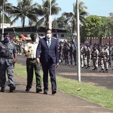
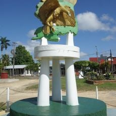
Para District, Mining and forestry district in northern Suriname.

Description

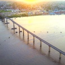
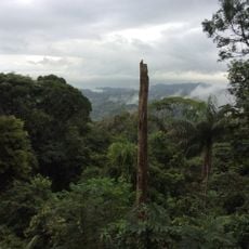
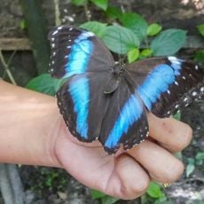
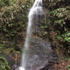
Para District spans across northern Suriname, featuring dense rainforest in some areas, open savanna in others, and numerous rivers and streams running through the landscape. The land is predominantly green and water-rich, with waterways serving as natural connectors between scattered settlements.

History

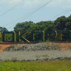
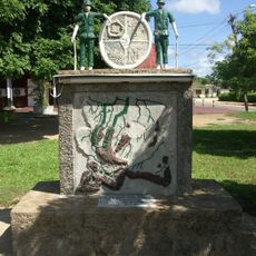
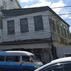
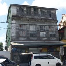
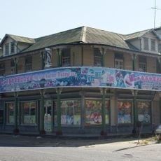
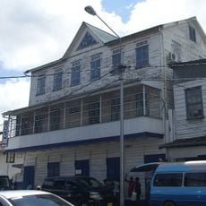
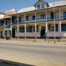
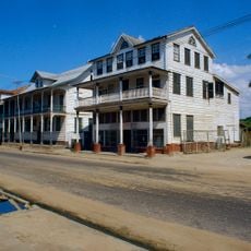
European settlers arrived in the 1600s and built sugar and tobacco plantations, particularly along the rivers. The region later developed into a significant center for mining and timber extraction.

Culture

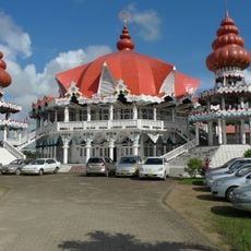
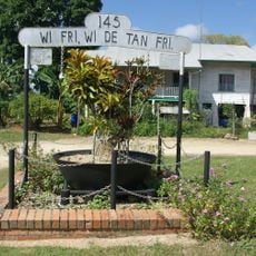
Indigenous Carib and Arawak communities have inhabited this region for centuries, and their settlements and daily practices remain integral to local life today. Visitors can see how traditional customs coexist with modern economic activities throughout the area.

Practical

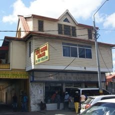
The main road Indira Gandhiweg connects the district capital Onverwacht to Paramaribo with regular bus services operating between them. Travel times can be long, and services become more limited the further from major towns you venture.

Did you know?

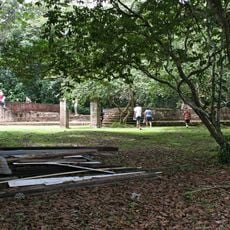
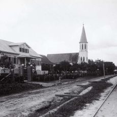
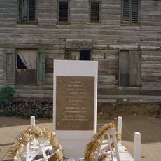
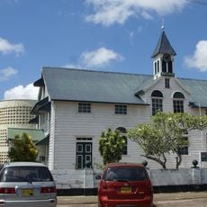
The remains of Jodensavanne, a Jewish settlement from the 1600s, survive in the district and once served as a prison camp during the 1940s war years. This remote historical site is difficult to reach today, connecting two very different chapters of the region's past.

Location
Capital city
Onverwacht
Shares border with
Sipaliwini District, Brokopondo District
GPS coordinates
5.43361,-55.33694
Latest update
December 10, 2025 16:30

AroundUs brings together thousands of curated places, local tips, and hidden gems, enriched daily by 60,000 contributors worldwide. Discover all places nearby (Suriname).

« Para District - Mining and forestry district in northern Suriname » is provided by Around Us (aroundus.com). Images and texts are derived from Wikimedia project under a Creative Commons license. You are allowed to copy, distribute, and modify copies of this page, under the conditions set by the license, as long as this note is clearly visible.

Discover hidden gems everywhere you go!

From secret cafés to breathtaking viewpoints, skip the crowded tourist spots and find places that match your style. Our app makes it easy with voice search, smart filtering, route optimization, and insider tips from travelers worldwide. Download now for the complete mobile experience.

Around Us App Screenshot

A unique approach to discovering new places

Le Figaro

All the places worth exploring

France Info

A tailor-made excursion in just a few clicks

20 Minutes

Around Us
Travel Guide & Maps
Download

Send to your phone

QR Code
1

Open the camera app on your mobile.

2

Point at the QR code with your camera. A notification will appear.

3

Tap the notification to open the link.