·

Enable Location

We need your location to show you interesting places around you

Discover nearby places

Find interesting locations and hidden gems around you

Precise directions

Get accurate directions and distances to places

Your location is never shared with other users. It's only used when you tap the location button.

Marowijne District

Log in to your account

Start exploring — it's free

Trusted by 62,668 travelers worldwide

Continue with Google
Continue with Apple
or

We will send you a code to connect

By continuing, you accept our Terms and Conditions and our Privacy Policy

Check your inbox

We've sent a pincode in your inbox. Please enter the code below.

Marowijne District

Marowijne District, Administrative district on the northeastern coast of Suriname.

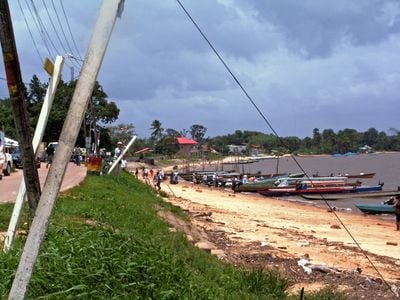
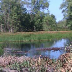
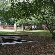
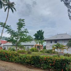
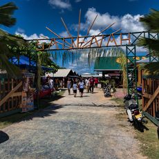
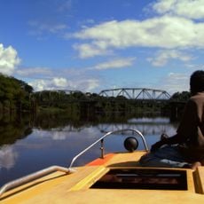
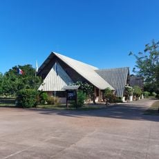
Marowijne District is an administrative area on the northeastern coast of Suriname, stretching between the Atlantic Ocean and French Guiana. It features rivers that cut through tropical forests, with coastal settlements dotting the landscape.

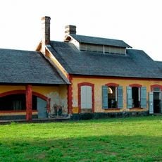
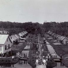
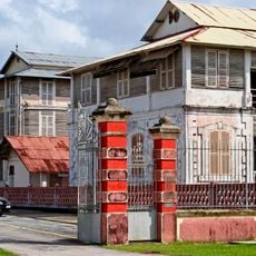
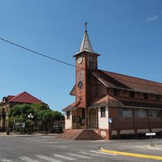
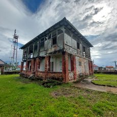
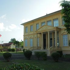
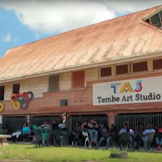
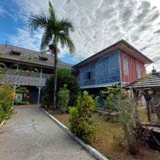
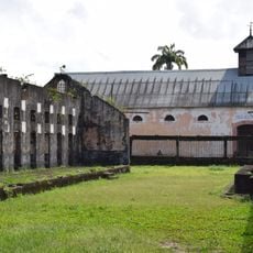
The district underwent major changes when bauxite mining began in the early 20th century, transforming Moengo into an industrial center. This development shaped the region's economic and social structure for decades to come.

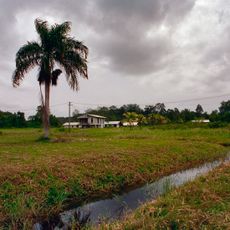
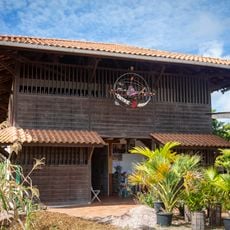
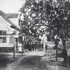
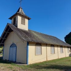
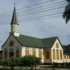
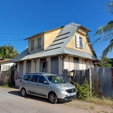
The district contains several Maroon settlements, founded by descendants of enslaved people who maintain their traditions and social ways of life. These communities shape the daily character and identity of the region in visible ways.

The district connects to Paramaribo via the East-West Link road and offers water routes along its many rivers for transportation. Visitors should note that infrastructure in remote areas can be limited, and water travel is often the main way to reach certain places.

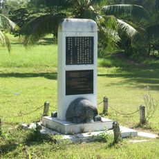
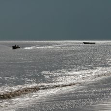
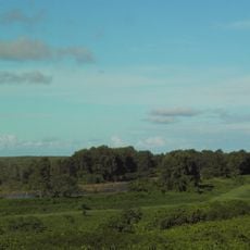
The region is home to sea turtle nesting grounds near Galibi, where multiple species lay their eggs on protected beach sections. These natural breeding areas attract scientific attention and conservation efforts.

The community of curious travelers

AroundUs brings together thousands of curated places, local tips, and hidden gems, enriched daily by 60,000 contributors worldwide.

Start exploring
Location
Capital city
Albina
Shares border with
Sipaliwini District, Commewijne District, Para District, French Guiana
GPS coordinates
5.77056,-54.32472
Latest update
December 10, 2025 20:08
« Marowijne District - Administrative district on the northeastern coast of Suriname » is provided by Around Us (aroundus.com). Images and texts are derived from Wikimedia project under a Creative Commons license. You are allowed to copy, distribute, and modify copies of this page, under the conditions set by the license, as long as this note is clearly visible.

Discover hidden gems everywhere you go!

From secret cafés to breathtaking viewpoints, skip the crowded tourist spots and find places that match your style. Our app makes it easy with voice search, smart filtering, route optimization, and insider tips from travelers worldwide. Download now for the complete mobile experience.

Around Us App Screenshot

A unique approach to discovering new places

Le Figaro

All the places worth exploring

France Info

A tailor-made excursion in just a few clicks

20 Minutes

Around Us
Travel Guide & Maps
Download

Send to your phone

QR Code
1

Open the camera app on your mobile.

2

Point at the QR code with your camera. A notification will appear.

3

Tap the notification to open the link.