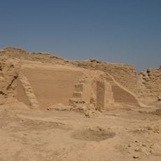
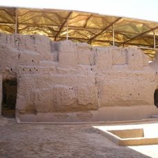
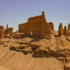
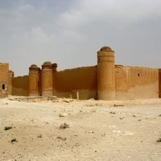
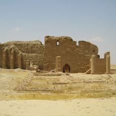
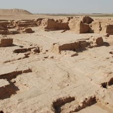
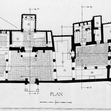
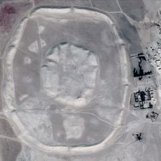
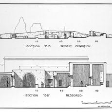
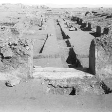
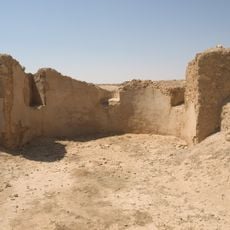
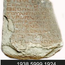
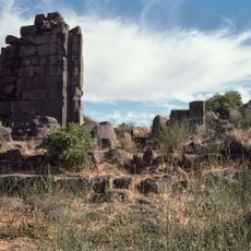
Abu Kamal District, district in Deir ez-Zor, Syria
Location: Deir ez-Zor Governorate
GPS coordinates: 34.45000,40.93333
Latest update: March 6, 2025 10:19
Dura-Europos church
37.9 km
Armenian Genocide Memorial Church, Der Zor
114.2 km
Royal Palace of Mari
12 km
Qalʿat ar-Rahba
77.4 km
Qasr al-Hayr al-Sharqi
183.9 km
Deir ez-Zor suspension bridge
122.6 km
Halabiye
171.1 km
Deir ez-Zor Museum
123.2 km
Zalabiye
168.2 km
Temple of Bêl
38.5 km
Dūr-Katlimmu
134 km
Temple of the Gadde
38 km
Tell Malhat ed-Deru
173.2 km
Temple of Artemis Azzanathkona
38.5 km
Temple of Adonis, Dura-Europos
38.1 km
Tell Mashnaqa
205 km
Roman Military Palace
38.4 km
Temple of Zeus Kyrios/Baal-Shamin
37.9 km
Temple of Zeus Theos
37.9 km
Temple of Zeus Megistos
37.9 km
Temple of Aphlad
37.7 km
Temple in Block X7
38.4 km
Temple of Atargatis
37.9 km
Hamadine
162.6 km
Palmyrene Gate
38 km
Temple of Ishtar
12.1 km
Temple of Artemis Nanaia
37.9 km
Praetorium of Dura-Europos
38.4 kmReviews
Visited this place? Tap the stars to rate it and share your experience / photos with the community! Try now! You can cancel it anytime.
Discover hidden gems everywhere you go!
From secret cafés to breathtaking viewpoints, skip the crowded tourist spots and find places that match your style. Our app makes it easy with voice search, smart filtering, route optimization, and insider tips from travelers worldwide. Download now for the complete mobile experience.
A unique approach to discovering new places❞
— Le Figaro
All the places worth exploring❞
— France Info
A tailor-made excursion in just a few clicks❞
— 20 Minutes