Tha Tum, district in Surin province, Thailand
Location: Surin
Elevation above the sea: 136 m
GPS coordinates: 15.31833,103.67500
Latest update: March 5, 2025 18:24

Tung Kula Rong Hai
16.8 km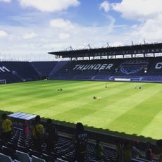
Chang Arena
73.5 km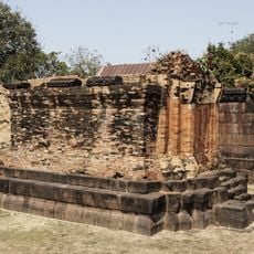
Prasat Kamphaeng Yai
54.3 km
Wat Mahathat
72.9 km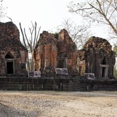
Prasat Prang Ku
61.3 km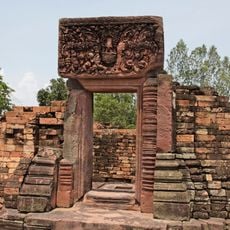
Ku Ka Sing
28.7 km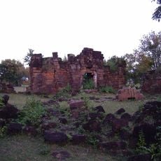
Prasat Chang Pi
43.3 km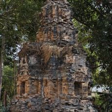
Prasat Tra Priang Tia
64.5 km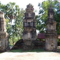
Prasat Mueang Thi
47.9 km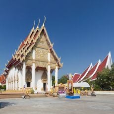
Wat Burapharam
52.1 km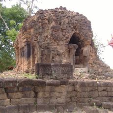
Prasat Ban Anan
45 km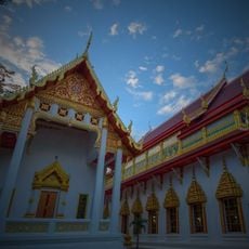
Wat Maha Phuttharam
73.7 km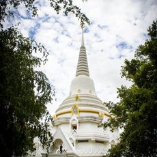
Wat Phra Phutthabat Yasothon
64.7 km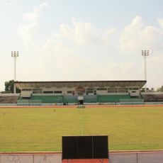
Sri Narong Stadium
52.9 km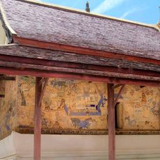
Wat Photharam
59.4 km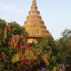
Wat Sa Kamphaeng Yai
55.2 km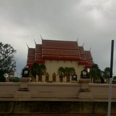
Wat Klang
70.2 km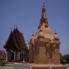
Wat Thung Sawang Chaiyaphum
73.7 km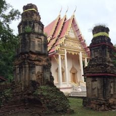
Wat Chom Sutthawat
47.9 km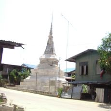
Wat Sing Tha
72.7 km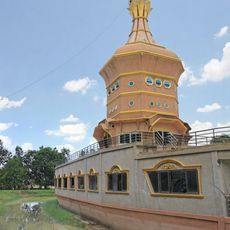
Wat Pa Neranchara Wanaram
45 km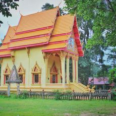
Wat Tri Suwannaram
63.3 km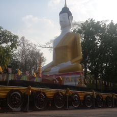
Wat Ku Sunthraram
71 km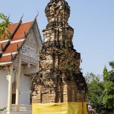
Prasat Mueang Chan
42 km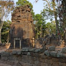
Prasat Ban Samo
71.6 km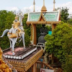
Wat Phra That Ruang Rong
69.2 km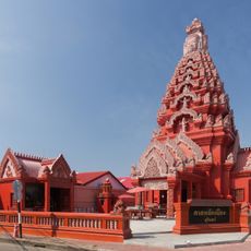
Surin city pillar shrine
52.3 km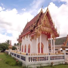
Wat Thep Rattanaram
28.2 kmReviews
Visited this place? Tap the stars to rate it and share your experience / photos with the community! Try now! You can cancel it anytime.
Discover hidden gems everywhere you go!
From secret cafés to breathtaking viewpoints, skip the crowded tourist spots and find places that match your style. Our app makes it easy with voice search, smart filtering, route optimization, and insider tips from travelers worldwide. Download now for the complete mobile experience.

A unique approach to discovering new places❞
— Le Figaro
All the places worth exploring❞
— France Info
A tailor-made excursion in just a few clicks❞
— 20 Minutes