Wang Wiset, district in Trang province, Thailand
Location: Trang
Elevation above the sea: 47 m
GPS coordinates: 7.73500,99.39333
Latest update: March 2, 2025 21:03
Ko Lanta
38.7 km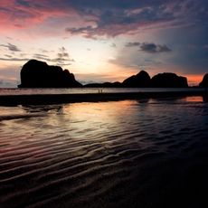
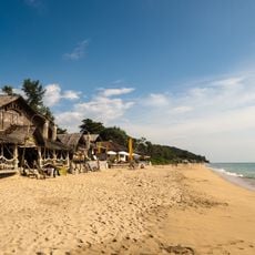
Pak Meng beach
27.2 km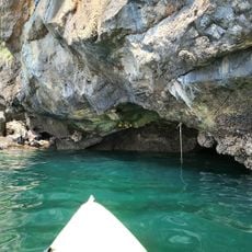
Emerald Cave
42.5 km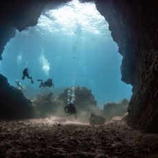
Mu Ko Lanta National Park
42.8 km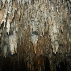
Khao Chang Hai cave
34.5 km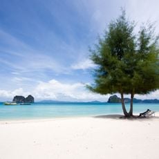
Hat Chao Mai National Park
38.3 km
Khao Pu - Khao Ya National Park
42.6 km
Wat Trangkhaphum Phutthawat
39.1 km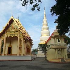
Wat Tantaya Phirom
29.9 km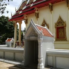
Wat Khlong Nam Chet
32 km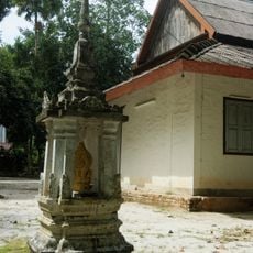
Wat Nikhro Tharam
29.9 km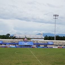
Trang City municipality Stadium
31.8 km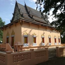
Wat Nikhom Prathip
33.5 km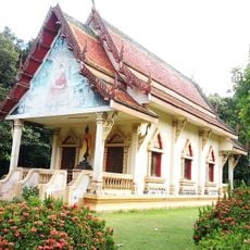
Wat Ko Lanta
40.6 km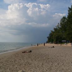
Phra Ae Beach
42.2 km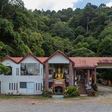
Sala Dan Bureau of Monks
40.4 km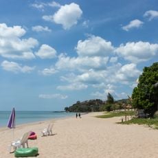
Khlong Nin Beach
43.9 km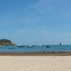
Ba Kantiang Beach
44.1 km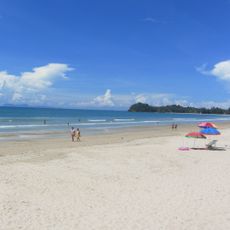
Klong Dao Beach
41.6 km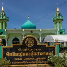
Jannatul Hasanah Mosque
43.6 km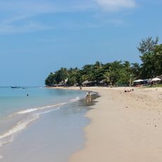
Khlong Khong Beach
43.6 km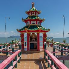
Maha Katyayana Shrine
40 km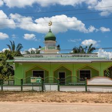
Ba-Lai Mosque
39 km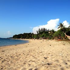
Relax Bay Beach
42.9 km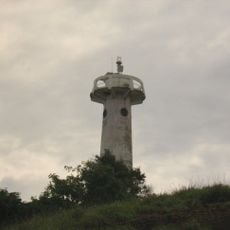
Ko Lanta lighthouse
44.1 km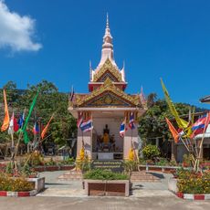
Kromluang Chumphon Khetudomsak Shrine
40.1 km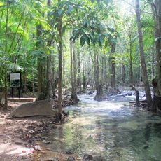
Khao Pra - Bang Khram Wildlife Sanctuary
25.6 km
Trang Provincial Civil Service Club
31.2 kmVisited this place? Tap the stars to rate it and share your experience / photos with the community! Try now! You can cancel it anytime.
Discover hidden gems everywhere you go!
From secret cafés to breathtaking viewpoints, skip the crowded tourist spots and find places that match your style. Our app makes it easy with voice search, smart filtering, route optimization, and insider tips from travelers worldwide. Download now for the complete mobile experience.

A unique approach to discovering new places❞
— Le Figaro
All the places worth exploring❞
— France Info
A tailor-made excursion in just a few clicks❞
— 20 Minutes