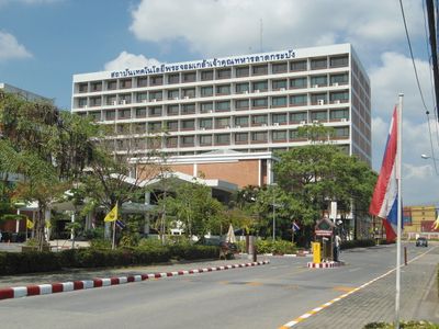
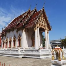
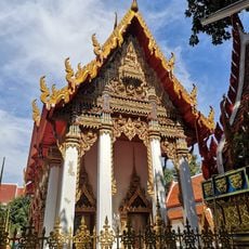
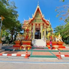
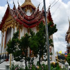
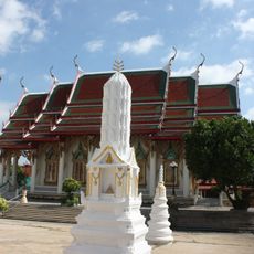
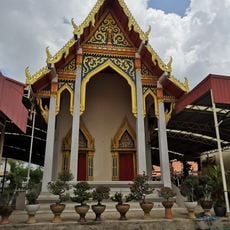
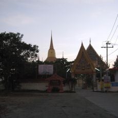
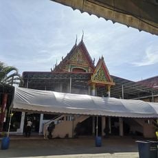
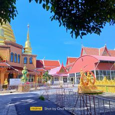
Lat Krabang, Administrative district in eastern Bangkok, Thailand.
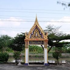
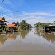
Lat Krabang is an administrative district in eastern Bangkok with agricultural areas and several subdivisions within its boundaries. The area is shaped by waterways and canals that run through the neighborhoods.
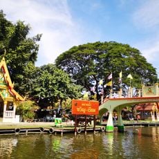
The district grew from agricultural land crossed by ditches and canals that served as main transportation routes for centuries. These water-based pathways shaped how communities settled and expanded over time.
Residents practice traditional rice farming methods that remain visible in the landscape, setting this district apart from other Bangkok neighborhoods. These agricultural ways are woven into daily life and connect people to the land in a way that has endured for generations.
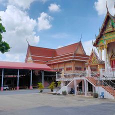
The district is divided into sections that help visitors navigate the area more easily. Walking or using local transport works well for exploring, especially if you want to see the agricultural zones.
The name Lat Krabang translates from Thai as 'slope of shield,' possibly referring to a field or a fishing device once used in the area. This local name reflects the historical link between the place and the work that sustained it.
The community of curious travelers
AroundUs brings together thousands of curated places, local tips, and hidden gems, enriched daily by 60,000 contributors worldwide.