
Nam Tok Sai Chai, Wasserfall in Thailand
Location: Satun
Elevation above the sea: 132 m
GPS coordinates: 6.96306,100.03917
Latest update: August 17, 2025 02:22
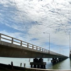
Tinsulanonda bridge
61.3 km
Arau
64.1 km
Tarutao National Park
59.8 km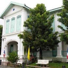
Satun National Museum
38.6 km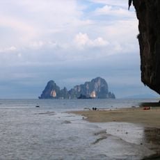
Mu Ko Phetra National Park
57.3 km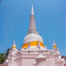
Wat Khuean Nang Kaeo
62.1 km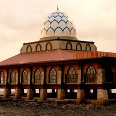
Al-Hussain Mosque
63.7 km
Utama Negeri Stadium
59.8 km
Khlong Hae Floating Market
49 km
Thale Ban National Park
55.6 km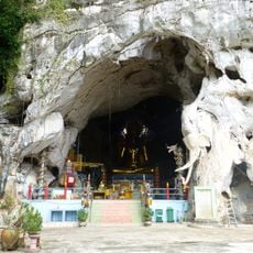
Wat Tham Khao Rup Chang
38.1 km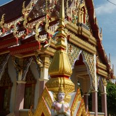
Wat Hong Pradittharam
50.7 km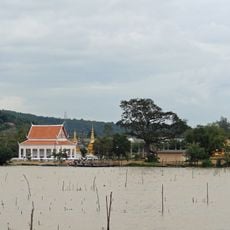
Wat Laem Pho
61.1 km
Chira Nakhon Stadium
48.2 km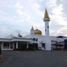
Perlis State Mosque
64.6 km
Princess Maha Chakri Sirindhorn Natural History Museum
50.9 km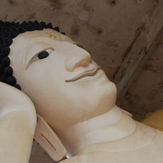
Wat Mahata Mangkhalaram
46 km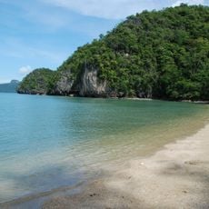
Tanjung Rhu
61.1 km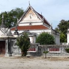
Wat Khu Tao
49.8 km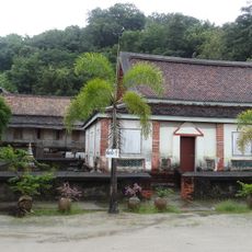
Wat Thai Yo
58.5 km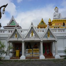
Wat Plak Kha
42.5 km
Satun Provincial Administrative Organization Stadium
35 km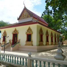
Wat Phang La
51.6 km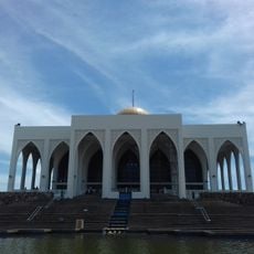
Songkhla Central Mosque
51.5 km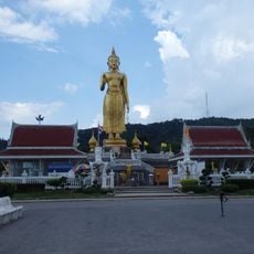
Phra Phutthamongkol Maharat
52.8 km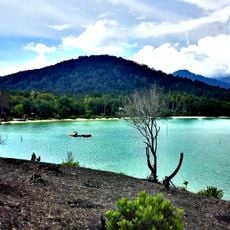
Pasir Panjang
59.1 km
Nam Yen Khao Chaison cave
55.7 km
Hat Yai Municipal Park
52.1 kmReviews
Visited this place? Tap the stars to rate it and share your experience / photos with the community! Try now! You can cancel it anytime.
Discover hidden gems everywhere you go!
From secret cafés to breathtaking viewpoints, skip the crowded tourist spots and find places that match your style. Our app makes it easy with voice search, smart filtering, route optimization, and insider tips from travelers worldwide. Download now for the complete mobile experience.

A unique approach to discovering new places❞
— Le Figaro
All the places worth exploring❞
— France Info
A tailor-made excursion in just a few clicks❞
— 20 Minutes