Nam Tok Suan Kham, Wasserfall in Thailand
Location: Nakhon Si Thammarat
Elevation above the sea: 350 m
GPS coordinates: 8.43361,99.65583
Latest update: July 28, 2025 07:33

Wat Phra Mahathat
34.3 km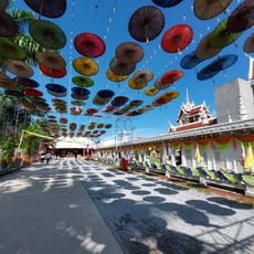
Wat Chedi
57.2 km
Khao Phanom Bencha National Park
84.3 km
Nakhon Si Thammarat Province Stadium
33.4 km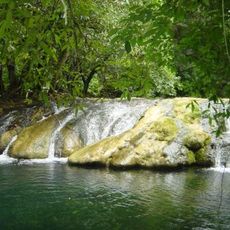
Khao Pu - Khao Ya National Park
77 km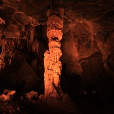
Tai Romyen National Park
53.3 km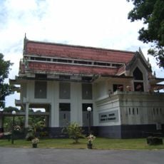
Nakhon Si Thammarat National Museum
34.7 km
Nong Thung Thong
65.6 km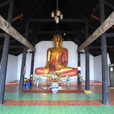
Wat Thao Khot
34.4 km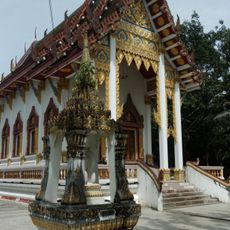
Wat Pathumthayakaram
68.6 km
Wat Kanchanaram
84 km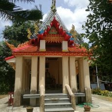
Wat Chom Thong
70.3 km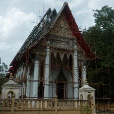
Wat Wiwek Rattanathat Muni
69.9 km
Wat Kradang-nga
84.6 km
Wat Tham Khao Khu Ha
82.8 km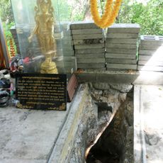
Wat Phra Phutthabat Si Surat
84.4 km
Walailak University Stadium
34.4 km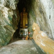
Tham Chom Thong
70.8 km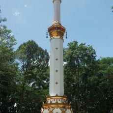
Phra That Si Surat
81.4 km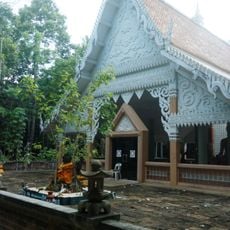
Wat Nai
84.8 km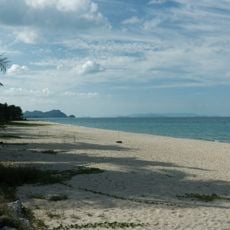
Nai Phlao Beach
81.4 km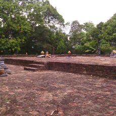
Khao Kha Archaeological Site
54.8 km
Kamin cave
53.7 km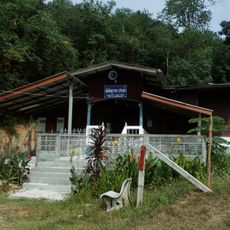
Ku Wa La mosque
70.5 km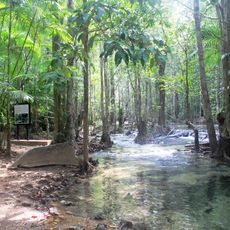
Khao Pra - Bang Khram Wildlife Sanctuary
71.6 km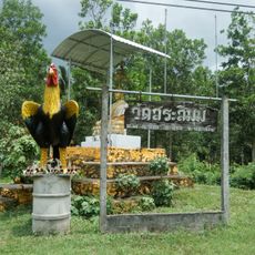
Wat Sa Si Mun
70.8 km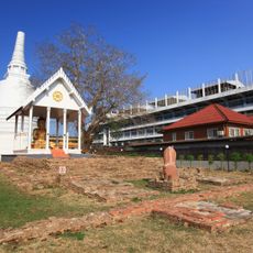
Wat Phra Ngoen Rang
33.8 km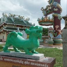
Chao Pho Ta Pa Khao shrine
70.6 kmReviews
Visited this place? Tap the stars to rate it and share your experience / photos with the community! Try now! You can cancel it anytime.
Discover hidden gems everywhere you go!
From secret cafés to breathtaking viewpoints, skip the crowded tourist spots and find places that match your style. Our app makes it easy with voice search, smart filtering, route optimization, and insider tips from travelers worldwide. Download now for the complete mobile experience.

A unique approach to discovering new places❞
— Le Figaro
All the places worth exploring❞
— France Info
A tailor-made excursion in just a few clicks❞
— 20 Minutes