Enable Location

We need your location to show you interesting places around you

Discover nearby places

Find interesting locations and hidden gems around you

Precise directions

Get accurate directions and distances to places

Your location is never shared with other users. It's only used when you tap the location button.

Yangmei District

Log in to your account

Start exploring — it's free

Trusted by 61,913 travelers worldwide

Continue with Google
Continue with Apple
or

We will send you a code to connect

By continuing, you accept our Terms and Conditions and our Privacy Policy

Check your inbox

We've sent a pincode in your inbox. Please enter the code below.

Yangmei District, Administrative district in Taoyuan City, Taiwan.

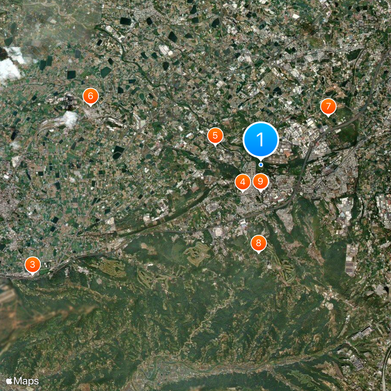
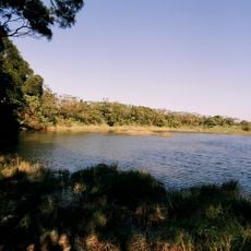
Yangmei is an administrative district in Taoyuan featuring varied landscapes that range from forested hills in the east to farmland in central areas. The district extends across a large territory that blends rural and urban development.

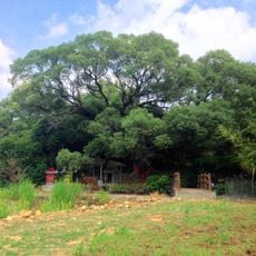
The district's name comes from the Qing Dynasty and refers to the bayberry trees that once covered the valley. As modernization arrived, these trees disappeared but the name remained.

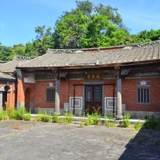
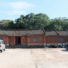
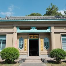
The district maintains deep Hakka heritage visible in local festivals and community gatherings throughout the year. This cultural connection shapes how residents interact and celebrate together in everyday life.

Four railway stations serve the district for local and regional connections. National Highway 1 and Provincial Highway 1 provide direct access to larger cities nearby.

The district leads Taoyuan in poultry farming and contains some of the region's largest container warehousing operations. This industrial importance often goes unnoticed by visitors despite shaping the local economy.

The community of curious travelers

AroundUs brings together thousands of curated places, local tips, and hidden gems, enriched daily by 60,000 contributors worldwide.

Start exploring
Location
Elevation above the sea
168 m
Shares border with
Xinwu District, Pingzhen District, Longtan, Hukou Township, Zhongli District, Xinpu Township
GPS coordinates
24.91670,121.15000
Latest update
December 14, 2025 20:01
« Yangmei District - Administrative district in Taoyuan City, Taiwan » is provided by Around Us (aroundus.com). Images and texts are derived from Wikimedia project under a Creative Commons license. You are allowed to copy, distribute, and modify copies of this page, under the conditions set by the license, as long as this note is clearly visible.

Discover hidden gems everywhere you go!

From secret cafés to breathtaking viewpoints, skip the crowded tourist spots and find places that match your style. Our app makes it easy with voice search, smart filtering, route optimization, and insider tips from travelers worldwide. Download now for the complete mobile experience.

Around Us App Screenshot

A unique approach to discovering new places

Le Figaro

All the places worth exploring

France Info

A tailor-made excursion in just a few clicks

20 Minutes

Around Us
Travel Guide & Maps
Download

Send to your phone

QR Code
1

Open the camera app on your mobile.

2

Point at the QR code with your camera. A notification will appear.

3

Tap the notification to open the link.