Namasia District, Mountain indigenous district in Kaohsiung, Taiwan
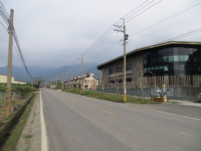
Namasia District is a mountainous indigenous area in northeastern Kaohsiung with terrain ranging from valley floors around 1,400 feet (430 meters) to peaks above 8,100 feet (2,481 meters). Three main settlements organize the territory, each nestled in different elevations within the forested landscape.
The area was known as Sanmin Township until 2008, when it was renamed to reflect its indigenous heritage more directly. During Japanese colonial rule, it was designated as Aboriginal Areas, marking its significance as a native settlement zone.
Three indigenous groups—the Bunun, Kanakanavu, and Saaroa—live across the area and keep their traditional ways alive in everyday life. You can observe their customs, crafts, and how they use the land in their three main communities.
Access to the area comes through the Tai 21 Expressway, which connects to major cities for visitor convenience. Bring sturdy shoes and weather-appropriate clothing, as mountain terrain and trails can be steep and weather conditions change quickly.
The mountain forests support remarkable animal diversity, home to numerous mammal and bird species alongside diverse reptiles and butterflies. This rich wildlife presence creates an environment where nature and human communities coexist closely.
The community of curious travelers
AroundUs brings together thousands of curated places, local tips, and hidden gems, enriched daily by 60,000 contributors worldwide.