
Vilok, human settlement
Location: Berehove Raion
Location: 维洛克市镇
Inception: 1200
Elevation above the sea: 118 m
Website: http://w1.c1.rada.gov.ua/pls/z7502/A005?rdat1=29.06.2008&rf7571=11076
GPS coordinates: 48.11189,22.83794
Latest update: April 1, 2025 03:23

Berehove Raion
8 km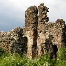
Vynohradiv Castle
14.5 km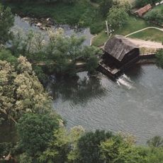
Watermill (Túristvándi, Hungary)
16.2 km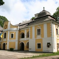
Perényi Mansion, Vynohradiv
15.6 km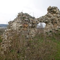
Castle in Kvasovo
9.6 km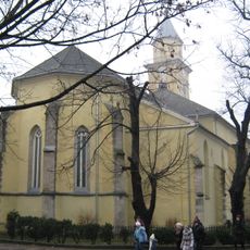
Exaltation of the Holy Cross Church, Berehove
17.6 km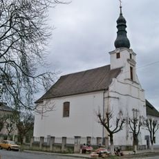
Franciscan monastery in Vynohradiv
14.9 km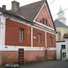
Court of count Gabor Betlen in Berehove
17.5 km
Prytysianskyi Regional Landscape Park
10 km
Берагаўскія нізкагор’і
12.4 km
Berehivske horbohirya
14.4 km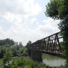
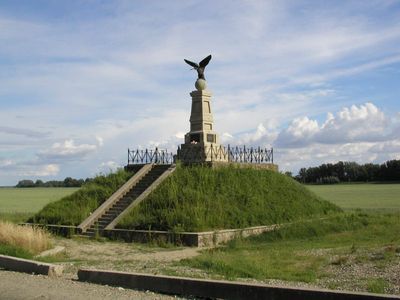
Вилоцький міст
1.8 km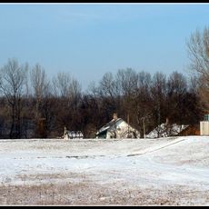
Garbolci-erdő Természetvédelmi Terület
16.4 km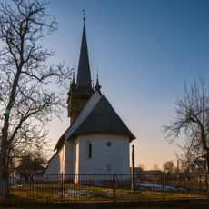
Gothic Reformed Church (Chetfalva)
3.7 km
Túristvándi Rókás-legelő Természetvédelmi Terület
13.9 km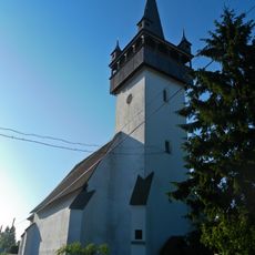
The Church of Jesus' Heart
7.6 km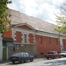
Berehove museum
17.5 km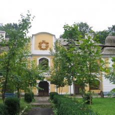
Park of Perényi Mansion, Vynohradiv
15.6 km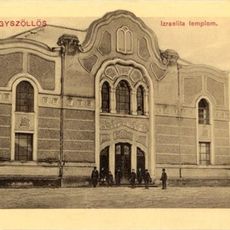
Vynohradiv Synagogue
15.1 km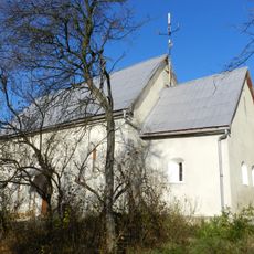
Saint John the Baptist church, Kidosh
16.1 km
Church of the presentation of Jesus Christ at the Temple, Ruska Dolyna
5.9 km
Сквер і пл. Героїв
17.8 km
Berehove Arboretum
17.4 km
Vynohradiv Arboretum
15 km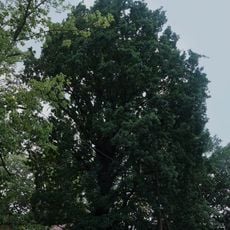
Дуб пірамідальний
14.4 km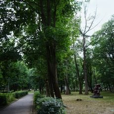
Міський парк культури і відпочинку
15.6 km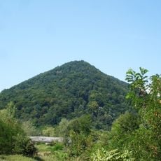
Shyiania Reserve
16.7 km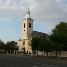
Saint Helena church, Vylok
101 mVisited this place? Tap the stars to rate it and share your experience / photos with the community! Try now! You can cancel it anytime.
Discover hidden gems everywhere you go!
From secret cafés to breathtaking viewpoints, skip the crowded tourist spots and find places that match your style. Our app makes it easy with voice search, smart filtering, route optimization, and insider tips from travelers worldwide. Download now for the complete mobile experience.

A unique approach to discovering new places❞
— Le Figaro
All the places worth exploring❞
— France Info
A tailor-made excursion in just a few clicks❞
— 20 Minutes