Khmelnytskyi, Regional administrative center in western Ukraine
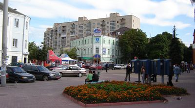
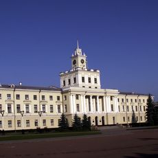
Khmelnytskyi is the administrative center of the oblast of the same name in western Ukraine, stretching along the Southern Bug River. The city combines wide avenues with residential and industrial districts across an area of roughly 90 square kilometers (35 square miles).
The settlement was founded in 1431 as Ploskyriv and received property rights from Grand Duke Vladislav I of Lithuania. The current name was given in 1954 to honor Hetman Bohdan Khmelnytsky during the 300th anniversary of the Treaty of Pereyaslav.
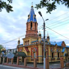
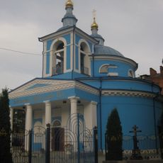
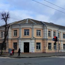
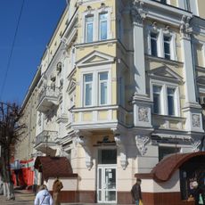
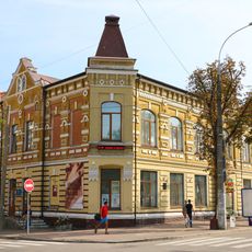
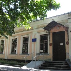
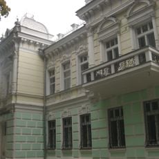
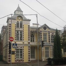
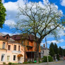
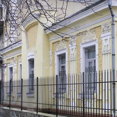
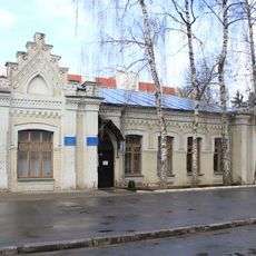
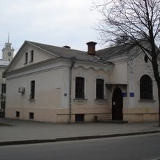
The central Proskurivska Street displays structures from different eras, showing how the urban fabric changed over the centuries. Visitors walking this main axis can trace the architectural evolution, with older facades standing beside more recent constructions.
The city has several rail connections and operates an international airport, serving as a transport hub for the surrounding regions. Visitors can explore the center on foot, while longer distances are covered by public transport options.
The original name Ploskyriv likely derives from the flat topography along the riverbank. The city went through several name changes before receiving its current designation, which recalls a major figure in Ukrainian history.
Location: Khmelnytskyi Oblast
Inception: 1431
Elevation above the sea: 295 m
Height: 295 m
Website: https://khm.gov.ua
GPS coordinates: 49.42000,27.00000
Latest update: December 12, 2025 21:53
Sport Complex Podillia
328 m
Monument to Bohdan Khmelnytsky
1.7 km
St. Andrew's Cathedral
1.6 km
Church of the Nativity of the Blessed Virgin
1.7 km
Khmelnytskyi Music College
1.3 km
Mykola Ostrovsky Khmelnytskyi Regional Universal Scientific Library
1.3 km
Shevchenko Square Garden
1.1 km
Saint George the Victory-bearer church
856 m
Proskurivska St., 13
1.4 km
フメリニツキー美術館
967 m
Building of Khmelnytskyi Oblast Council
1.6 km
Музей-панорама «Визволення Проскурова»
1.2 km
Anhel skorboty
729 m
Khmelnytskyi City Central Bank
1 km
Craftsmen synagogue of Khmelnytskyi
1.5 km
Khmelnytskyi literary museum
1.2 km
Палац урочистих подій
1.4 km
Hrushevskoho St., 95
1.3 km
Бук червоний
1.4 km
Juglans nigra
375 m
Volodymyrska St., 51
954 m
Buk Chervonolystyi
1.5 km
Особняк графині Бінецької
1.3 km
Avenue of Aesculus hippocastanum
923 m
Pylypchuka St., 3
914 m
Tilia europaea
1.2 km
18 Heroiv Mariupolia Street, Khmelnytskyi
1.6 km
Monument to the fallen policemen
1.6 kmVisited this place? Tap the stars to rate it and share your experience / photos with the community! Try now! You can cancel it anytime.
Discover hidden gems everywhere you go!
From secret cafés to breathtaking viewpoints, skip the crowded tourist spots and find places that match your style. Our app makes it easy with voice search, smart filtering, route optimization, and insider tips from travelers worldwide. Download now for the complete mobile experience.
A unique approach to discovering new places❞
— Le Figaro
All the places worth exploring❞
— France Info
A tailor-made excursion in just a few clicks❞
— 20 Minutes