Enable Location

We need your location to show you interesting places around you

Discover nearby places

Find interesting locations and hidden gems around you

Precise directions

Get accurate directions and distances to places

Your location is never shared with other users. It's only used when you tap the location button.

Konotop

Log in to your account

Start exploring — it's free

Trusted by 62,414 travelers worldwide

Continue with Google
Continue with Apple
or

We will send you a code to connect

By continuing, you accept our Terms and Conditions and our Privacy Policy

Check your inbox

We've sent a pincode in your inbox. Please enter the code below.

Konotop

Konotop, Regional administrative center in Sumy Oblast, Ukraine

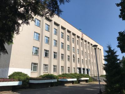
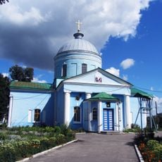
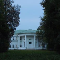
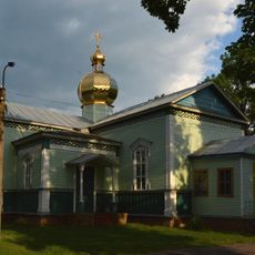
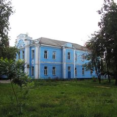
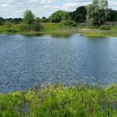
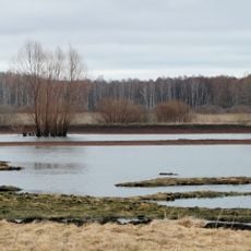
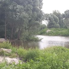
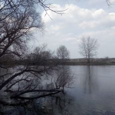
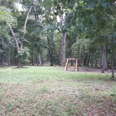
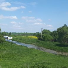
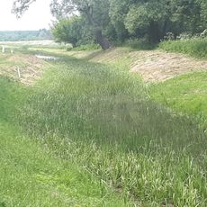
Konotop is a town on the Yezuch River in Sumy Oblast, northern Ukraine. The town spreads across several neighborhoods with a mix of Soviet-era apartment blocks, older historical buildings, and newer constructions.

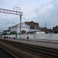
In the 17th century, a military confrontation between Ukrainian and Russian forces took place here that changed the course of the war. The town later developed into a railway junction, which shaped its growth throughout the 19th and 20th centuries.

The name comes from an old Ukrainian word related to horses and their keeping. Streets in the center still follow the classic layout of an Eastern European trading town, with a central square surrounded by administrative buildings and shops.

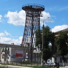
The town works well as a stopover for travelers exploring the region, as several railway lines meet here. Those who want to move around can use the tram system, which connects different parts of the town.

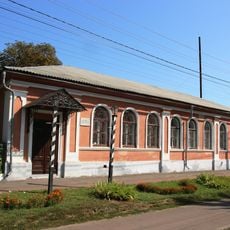
A museum founded over a century ago preserves collections about the town's history and the wider region. The town also maintains a tram network, which has become rare in places of this size.

The community of curious travelers

AroundUs brings together thousands of curated places, local tips, and hidden gems, enriched daily by 60,000 contributors worldwide.

Start exploring
Inception
1634
Elevation above the sea
142 m
GPS coordinates
51.23750,33.20833
Latest update
December 17, 2025 07:31
« Konotop - Regional administrative center in Sumy Oblast, Ukraine » is provided by Around Us (aroundus.com). Images and texts are derived from Wikimedia project under a Creative Commons license. You are allowed to copy, distribute, and modify copies of this page, under the conditions set by the license, as long as this note is clearly visible.

Discover hidden gems everywhere you go!

From secret cafés to breathtaking viewpoints, skip the crowded tourist spots and find places that match your style. Our app makes it easy with voice search, smart filtering, route optimization, and insider tips from travelers worldwide. Download now for the complete mobile experience.

Around Us App Screenshot

A unique approach to discovering new places

Le Figaro

All the places worth exploring

France Info

A tailor-made excursion in just a few clicks

20 Minutes

Around Us
Travel Guide & Maps
Download

Send to your phone

QR Code
1

Open the camera app on your mobile.

2

Point at the QR code with your camera. A notification will appear.

3

Tap the notification to open the link.