Makovytsa, Mountain summit in Nadvirna Raion, Ukraine
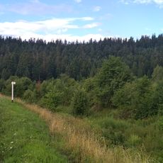
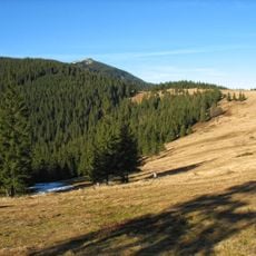
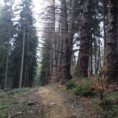
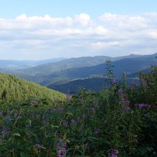
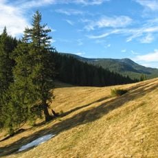
Makovytsa is a 984.5-metre summit in the Gorgany range of the Ukrainian Carpathians, east of Yaremche. Its northern and north-western slopes are steep, while the southern and south-western ones are gentler. The foothills are almost entirely forested, but the top has only sparse shrubs and scattered trees, with grassy areas in between.
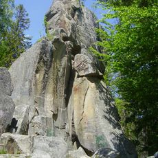
The sources record no founding event or dated history for the summit itself; what they document is its position on the boundary between the Yaremche Municipal Council and Nadvirna Raion of Ivano-Frankivsk Oblast. The name is explained two ways: from the Ukrainian makyvka, a peak or summit, or from Sanskrit, meaning a place of worship. Trails reaching the top are linked to the Dovbush path and the Dovbush Rocks below.
The name Makovytsa comes from makyvka, a peak or summit; another account traces it to Sanskrit, meaning a place of worship. Two marked routes lead up: from a spring and chapel on Ivana Franka Street in Yamna along the ridge, or from Dovbush's Stone by the railway tunnel via the Dovbush trail and Dovbush Rocks.
Spring through fall offers the most stable weather for hiking, with trails remaining well-maintained during this period. Visitors should wear sturdy footwear and bring weather-resistant clothing as conditions at elevation can change rapidly.
A metal cross stands on the summit, with distance markers pointing to Yaremche (3.5 km), the Dora suburb (3.5 km) and the Dovbush Rocks (4.5 km). The name may come from the Sanskrit word for a place of worship, a kapyshche, according to one tradition.
The community of curious travelers
AroundUs brings together thousands of curated places, local tips, and hidden gems, enriched daily by 93,891 contributors worldwide.