Lymanske, Small town in Odessa Oblast, Ukraine
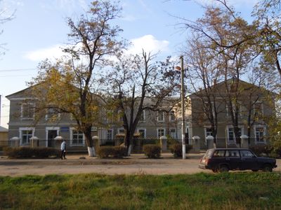
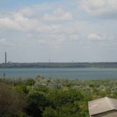
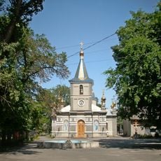
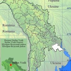
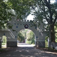
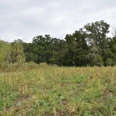
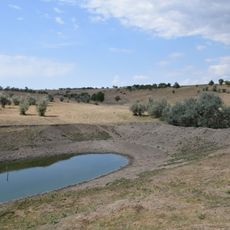
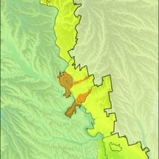
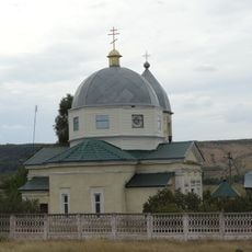
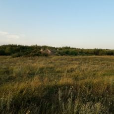
Lymanske is a small town in Odessa Oblast located in southern Ukraine at a low elevation near sea level. It functions as an administrative center serving the surrounding rural areas and communities.
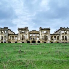
The town was founded in 1798 as a residential settlement in what is now Ukraine. Over the following centuries, it underwent several administrative reorganizations that reshaped its role within the regional structure.
The town's multilingual naming reflects the regional linguistic diversity, with Belarusian and Russian variants showing historical connections to neighboring cultures. Local names carry traces of the different communities that have shaped the area over time.
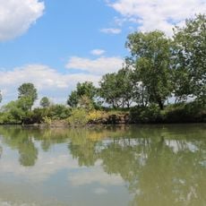
The town is relatively easy to reach and serves as a convenient base for exploring the southern Odessa region. Visitors should expect simple amenities and local conditions typical of a rural administrative center.
The settlement was part of Zeltzka Volost until 1939 and then belonged to Rozdilna Raion for most of the 20th century before administrative changes in 2020. These shifting boundaries reflect the complex political transformations that reshaped the region over time.
Location: Lymanske municipality
Inception: 1798
Elevation above the sea: 11 m
Website: http://limanskoe.od.ua/index.php?lang=uk
GPS coordinates: 46.66389,29.97083
Latest update: December 10, 2025 15:55
Slobozia District
22.1 km
Dubiecki Manor in Vasylivka
25.6 km
Cuciurgan Reservoir
7.1 km
Church of the Holy Trinity, Lymanske
1.5 km
Church of the Assumption of Our Lady in Lymanske
1.5 km
Saint Nicholas church, Rozdilna
22.5 km
Маври «Тогай»
22 km
Parks Dniester
30 km
Oak forest in marshes, Troitske
13.3 km
Church of the Nativity of the Virgin Mary
21 km
Hrebenyky Natural Researve
29.4 km
Virgin Mary Nativity church, Novoukrainka
29.5 km
Albu's ravine
21.4 km
Copanca
30.2 km
Lower Dniester
18 km
St. Konstantin & Helen Church in Rozalivka
17.2 km
Музей водопроводної странції «Дністер»
30 km
Leuntea
29.8 km
Great Martyr George Church
24.3 km
St. Archangel Michael church in Slobozia
23.2 km
Biserica „Sf. Dumitru”
29.7 km
Port Slobodzeya
22.5 km
Port Korkmaz
22.9 km
Port Chobruchi (dunggoanan sa Moldabya, lat 46,60, long 29,72)
20.3 km
Port Karagash
25.8 km
Port Chobruchi (dunggoanan sa Moldabya, lat 46,67, long 29,76)
16.2 km
Port Olaneshty
18.4 km
Port Raskayetsy
17.2 kmVisited this place? Tap the stars to rate it and share your experience / photos with the community! Try now! You can cancel it anytime.
Discover hidden gems everywhere you go!
From secret cafés to breathtaking viewpoints, skip the crowded tourist spots and find places that match your style. Our app makes it easy with voice search, smart filtering, route optimization, and insider tips from travelers worldwide. Download now for the complete mobile experience.
A unique approach to discovering new places❞
— Le Figaro
All the places worth exploring❞
— France Info
A tailor-made excursion in just a few clicks❞
— 20 Minutes