
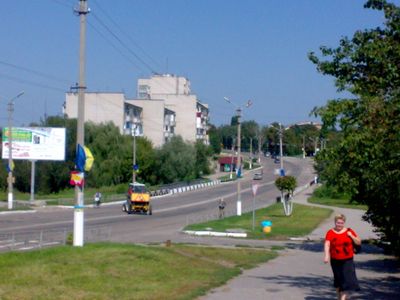
Myronivka, town in Ukraine
Location: Myronivska hromada
Elevation above the sea: 128 m
GPS coordinates: 49.65000,30.98333
Latest update: April 17, 2025 14:04
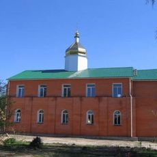
Saint Nicholas monastery complex in Bohuslav
14 km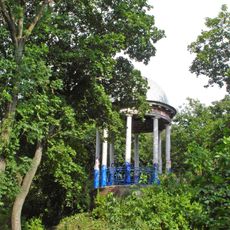
Kaharlyk Park
26.2 km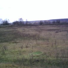
Buscheweer Siedlung
27.5 km
Church of the Holy Trinity, Bohuslav
14 km
Bohuslavl Park
14.2 km
Musée local d'histoire de Bohouslav
13.8 km
Urochyshche Turchyno Reserve
26.5 km
Liodohrai
15.5 km
Saint John the Evangelist church in Rozkopantsi
16.7 km
Vidsharuvannia Bohuslavskykh Hranitiv
14.2 km
Dub Hoholia
25.9 km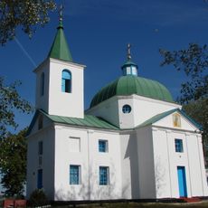
Saint Michael church in Shandra, Myronivka Raion
20 km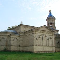
Church of the Intercession, Makedony
22.9 km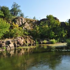
Sphinx Rock
28.5 km
Vyhraiivskyi
23 km
Shkola Tract
27.7 km
Monakhove provallia
22.7 km
Stebliv Zoological Preserve
28.6 km
Nechui-Levytskyi Rock
28.6 km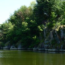
Adam Mitskevych Rock
28.6 km
Bushivskyi Reserve
28.1 km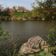
Burlachka rock
28.5 km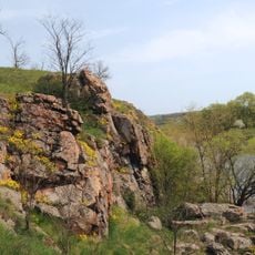
Cossack Rock
28.3 km
Астрагал
5.2 km
Пам'ятка природи місцевого значення «Дуб Б.Хмельницького в урочищі Виграївська дача»
25.9 km
Maslivskyy sanctuary
16 km
Martynivskyi
22 km
Savarka Reserve
26.2 kmReviews
Visited this place? Tap the stars to rate it and share your experience / photos with the community! Try now! You can cancel it anytime.
Discover hidden gems everywhere you go!
From secret cafés to breathtaking viewpoints, skip the crowded tourist spots and find places that match your style. Our app makes it easy with voice search, smart filtering, route optimization, and insider tips from travelers worldwide. Download now for the complete mobile experience.

A unique approach to discovering new places❞
— Le Figaro
All the places worth exploring❞
— France Info
A tailor-made excursion in just a few clicks❞
— 20 Minutes