Kupiansk, Administrative center in Kharkiv Oblast, Ukraine
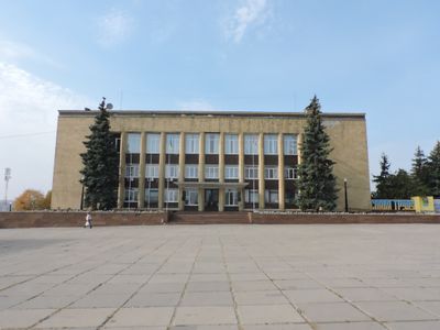
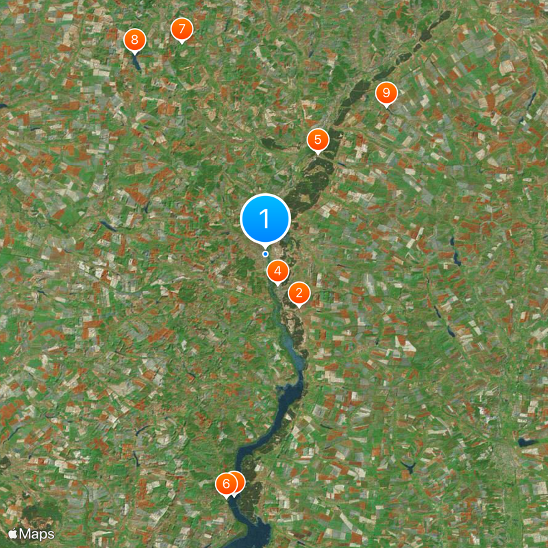
Kupiansk is an administrative center on the Oskil River that spreads across three connected areas and serves as a railway junction. The town sits 79 meters (260 feet) above sea level and covers an area of 33 square kilometers (13 square miles).
The settlement was established in 1655 and developed over centuries into an important railway junction in the region. During World War II, the town was under occupation from July 1942 until February 1943.
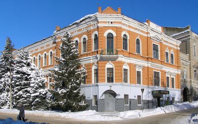
The name derives from the Slavic word for trade, recalling earlier market traditions along the river. Today you can see traces of this commercial past at many corners in the form of small shops and market halls.
The town has three hospitals, nine general schools, and three high schools offering basic services to the population. The railway station in the Kupiansk-Vuzlovyi area facilitates connections to other towns in the region.
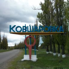
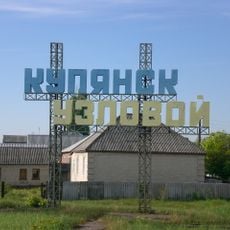
The place consists of three physically separate parts that are distributed across the Oskil bank and connected by roads. The central part carries the main name, while Kupiansk-Vuzlovyi houses the railway station and Kivsharivka forms a standalone district.
Location: Communauté territoriale de Koupiansk
Inception: 1655
Elevation above the sea: 79 m
Website: http://kupyansk-rada.gov.ua
GPS coordinates: 49.70639,37.61667
Latest update: December 4, 2025 23:41
Kivsharivka
10 km
Oskil Reservoir
39.5 km
Pechenihy Reservoir
50.9 km
Kupiansk-Vuzlovyi
5.3 km
Ukrainian T-shaped Radio telescope, second modification
49.6 km
National Nature Park Dvorichansky
18.3 km
Nyzhnia Duvanka
42.1 km
Подземный храм Преподобного Серафима Саровского
50.3 km
Giant Ukrainian Radio Telescope
49.3 km
Petrovsky Borki
51.3 km
Velykoburlutskyi Step
36.6 km
Pachenizke Pole
49.2 km
Palace of Donets-Zakharzhevsky family
43.4 km
Velykyi Burluk Reservoir
38.5 km
Chuguevskaya Station Observatory
49.5 km
Luh
44.7 km
Malynivskyi Reserve
46.5 km
Kupiansk museum of local history
954 m
Храмовий печерний комплекс «Преображенські катакомби»
39.6 km
Pechenizkyi Reserve
50.6 km
Svativsky Preserve
44.3 km
Chervonooskilskyi Park
40.1 km
Гончарівський заказник
35.2 km
Teri Preserve
45.6 km
Куземівський яр
33.8 km
Nizhioduvanske
44.7 km
Знаменская церковь с интерьером (Уразово)
51.2 km
Мужская гимназия (Уразово)
51.4 kmVisited this place? Tap the stars to rate it and share your experience / photos with the community! Try now! You can cancel it anytime.
Discover hidden gems everywhere you go!
From secret cafés to breathtaking viewpoints, skip the crowded tourist spots and find places that match your style. Our app makes it easy with voice search, smart filtering, route optimization, and insider tips from travelers worldwide. Download now for the complete mobile experience.
A unique approach to discovering new places❞
— Le Figaro
All the places worth exploring❞
— France Info
A tailor-made excursion in just a few clicks❞
— 20 Minutes