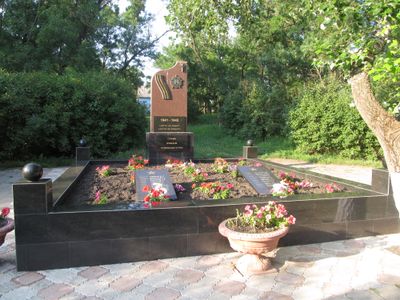
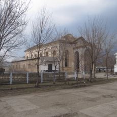
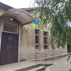
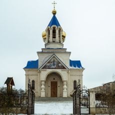
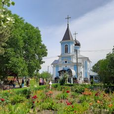
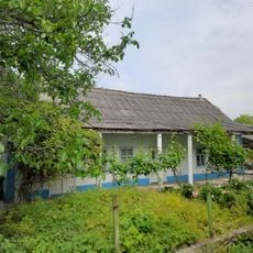
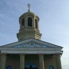
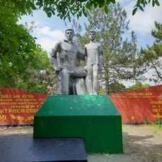
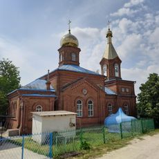
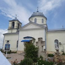
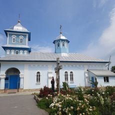
Borodino, Rural settlement in Tarutyne Raion, Ukraine.
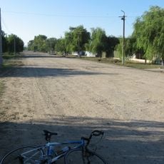
Borodino is a rural settlement in Tarutyne District located on the left bank of the Saka River in southern Ukraine. It sits at approximately 56 meters above sea level within the Cogâlnic River basin area.
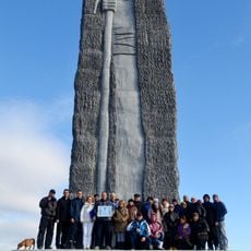
Founded in 1814, the settlement was classified as an urban-type settlement for over 200 years before being reclassified as rural in 2024 due to administrative reforms. This change reflected broader governmental reorganization efforts.
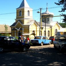
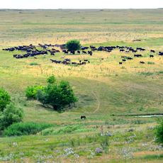
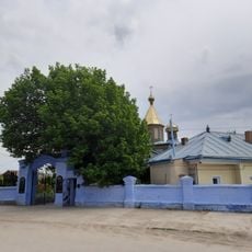
Multiple ethnic groups including Bessarabian Bulgarians, Ukrainians, Moldovans, Russians and Gagauz people live here and keep their traditions alive. This diversity shapes how the community functions and the character of daily life.
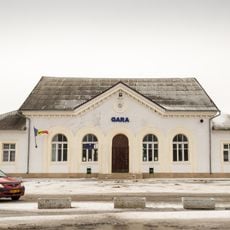
The closest railway station is in Soborne, about 5 kilometers to the southwest, and offers transportation connections to other areas. Visitors can access regional train routes from there to reach larger cities and other destinations.
In 2024, the settlement received a new official name as part of a national campaign to rename places with Russian-origin names. The name change reflects efforts to emphasize local and regional identity.
Location: Borodino municipality
Inception: 1814
Elevation above the sea: 56 m
GPS coordinates: 46.30056,29.24278
Latest update: December 11, 2025 11:08
Bolhrad Raion
32.3 km
Tarutyne
14.8 km
Berezyne
7.8 km
Serpneve
16.9 km
Tarutyns'kyj steppe
15.8 km
Staromanzyrs'kjy botanical preserve
20.9 km
Alexei Mateevici museum in Zaim, Căușeni
36.3 km
Local history museum in Artsyz
37.9 km
Пам'ятник чабану
13.4 km
Excavation site near Zaim
37.6 km
Dumbrava Moghileni
18.5 km
Windbreak of Tvardița
23.1 km
Dibrova Artsyz'ka
34.9 km
Jug and wandering stork
20 km
Saint Michael church in Avdarma
31.6 km
Monument în memoria consătenilor căzuți în război (1941-1945)
24.8 km
Saint Nicholas church in Basarabeasca
21.7 km
Biserica „Nașterea Maicii Domnului”
32.3 km
Casa în care, în anii 1900-1917, a locuit I. F. Secrieru
24.7 km
Saint Paraskeva church in Tvardița
26.8 km
Monument în memoria consătenilor căzuți în război (1941-1945)
32.4 km
Biserica „Acoperământul Maicii Domnului”
37.3 km
Biserica „Înălțarea Domnului”
33.7 km
Biserica „Acoperământul Maicii Domnului”
28.7 km
Biserica „Sf. Arhangheli Mihail și Gavril”
25.1 km
World War II memorial in Basarabeasca
22.2 km
Complexul de clădiri al nodului de cale ferată
20.2 km
Cemetery Chapel Krasna
20.8 kmVisited this place? Tap the stars to rate it and share your experience / photos with the community! Try now! You can cancel it anytime.
Discover hidden gems everywhere you go!
From secret cafés to breathtaking viewpoints, skip the crowded tourist spots and find places that match your style. Our app makes it easy with voice search, smart filtering, route optimization, and insider tips from travelers worldwide. Download now for the complete mobile experience.
A unique approach to discovering new places❞
— Le Figaro
All the places worth exploring❞
— France Info
A tailor-made excursion in just a few clicks❞
— 20 Minutes