
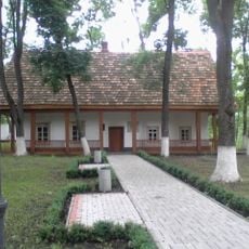
Zlatopol, former city in Kirovohrad Oblast, Ukraine
Location: Novomyrhorod
Elevation above the sea: 188 m
GPS coordinates: 48.81389,31.65028
Latest update: April 12, 2025 07:54

Khutir Nadia
42.9 km
Kapitanivka
12.6 km
Pastyrske Hill Fort
19.3 km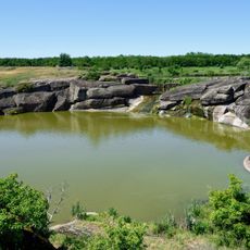
Kaskady
43.1 km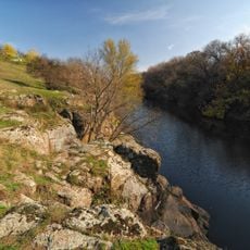
Tiasmyn canyon
40.7 km
Dekabrystiv Park
41.2 km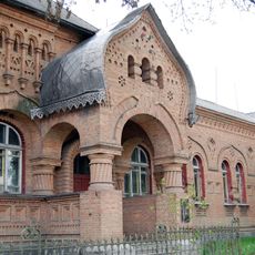
Hanna Dmytrian Hospital
2.8 km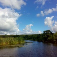
Panski Hory Natural Reserve
4 km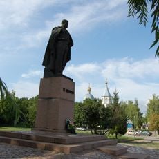
Taras Shevchenko Memorial
28.2 km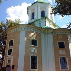
St. Elijah church in Novomyrhorod
3.5 km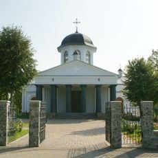
Exaltation of the Holy Cross church, Rozumivka
36.7 km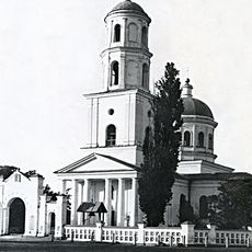
St. Nicholas Cathedral in Novomyrhorod
2.4 km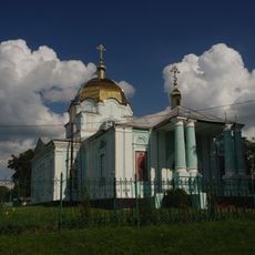
St. Nicholas church in Novomyrhorod
398 m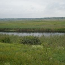
Velyka Vys Nature Reserve
1.2 km
Inhul River Sources
28.8 km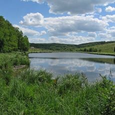
Mykolaivka landscape reserve
39.5 km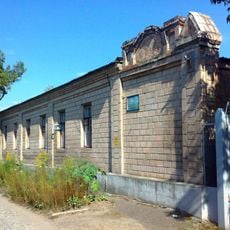
Новомиргородський районний краєзнавчий музей
2.6 km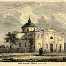
Church of Immaculate Conception in Novomyrhorod
274 m
Dovzhyk
43.4 km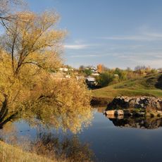
Pushkin Rock
41 km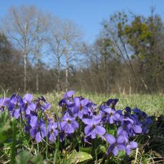
Dariivka Park
27 km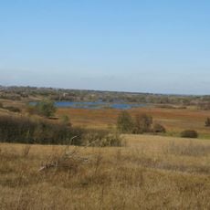
Rozumivska Balka
39 km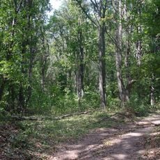
Makiivske Horodishche
19.7 km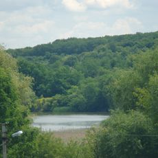
Mytnytskyi
18.6 km
Pyramid Oak
27 km
Sharpine
19.3 km
Матвіїв яр
5.9 km
Panskyi
15.5 kmReviews
Visited this place? Tap the stars to rate it and share your experience / photos with the community! Try now! You can cancel it anytime.
Discover hidden gems everywhere you go!
From secret cafés to breathtaking viewpoints, skip the crowded tourist spots and find places that match your style. Our app makes it easy with voice search, smart filtering, route optimization, and insider tips from travelers worldwide. Download now for the complete mobile experience.

A unique approach to discovering new places❞
— Le Figaro
All the places worth exploring❞
— France Info
A tailor-made excursion in just a few clicks❞
— 20 Minutes