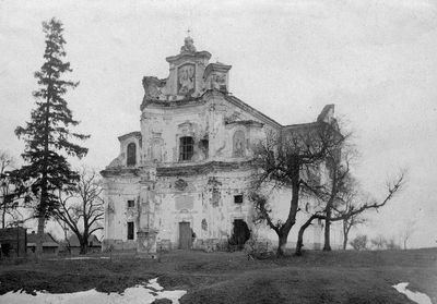
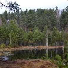
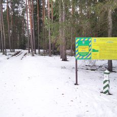
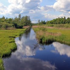
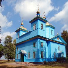
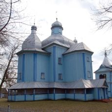
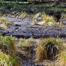
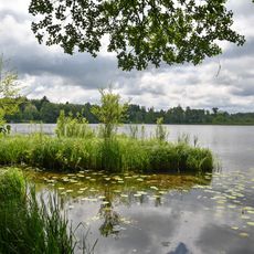
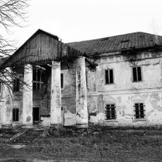
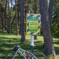
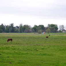
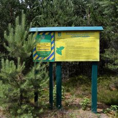
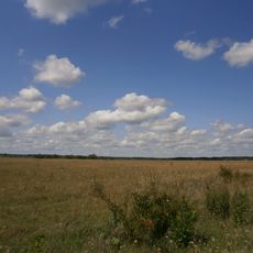
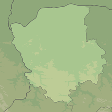
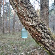
Chartoryisk, village in Manevychi Raion, Volyn Oblast, Ukraine
Location: Manevychi Raion
Inception: 1100
Elevation above the sea: 166 m
Website: http://gska2.rada.gov.ua:7777/pls/z7502/A005?rdat1=08.08.2006&rf7571=4397
GPS coordinates: 51.22675,25.87894
Latest update: March 21, 2025 17:52
Cheremske Nature Reserve
32.4 km
Tsumanska Puscha National Nature Park
37.7 km
Okonski Dzherela
24.3 km
Zamek w Czartorysku
377 m
Gord Zamok in Staryi Chortoryisk
1.4 km
Babka hill fort
18.7 km
Костел святих Петра і Павла (Олика)
33.2 km
Izotop Stadium
13.7 km
Voronky Lake
38.3 km
Castle Stepaniu
31.2 km
Kruchene ozero nature reserve
35 km
Рись (заказник)
31.5 km
Кормин
35.2 km
Saint Nicholas Orthodox church in Horodets
29.8 km
Holy Trinity church, Stepan
31.6 km
Urochyshche Dzherela nature reserve
31.1 km
Софіянівський заказник
33.9 km
Озеро Глибоцьке
34.2 km
Volodymyretskyi park architecture monument
28 km
Цуманська Пуща
34.5 km
Makarevychivskyi park, Omelne
29.8 km
Horodyshche Oaks
38.4 km
Костянтинівський лісовий заказник
35.9 km
Bolotne lake nature reserve
41.4 km
Hradyskyi
37.9 km
Zarichchya nature reserve
5 km
Karasyn Forest Reserve
33.3 km
Маневицький лісовий заказник
18.5 kmReviews
Visited this place? Tap the stars to rate it and share your experience / photos with the community! Try now! You can cancel it anytime.
Discover hidden gems everywhere you go!
From secret cafés to breathtaking viewpoints, skip the crowded tourist spots and find places that match your style. Our app makes it easy with voice search, smart filtering, route optimization, and insider tips from travelers worldwide. Download now for the complete mobile experience.
A unique approach to discovering new places❞
— Le Figaro
All the places worth exploring❞
— France Info
A tailor-made excursion in just a few clicks❞
— 20 Minutes