
Peregonivka, village in Kobeliaky Raion, Poltava Oblast, Ukraine
Location: Kobeliaky Raion
Inception: 1716
Elevation above the sea: 114 m
GPS coordinates: 49.06083,34.16084
Latest update: May 8, 2025 16:17
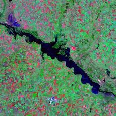
Kamianske Reservoir
29.7 km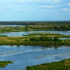
Nyhznovorsklianskyi Park
8.1 km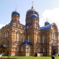
Kozelshchyna Monastery of the Nativity of the Blessed Virgin
28.4 km
Білицький краєзнавчий музей
23 km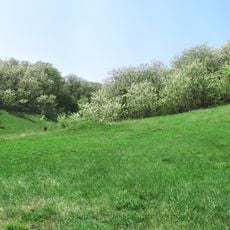
Kalytva Hora
25 km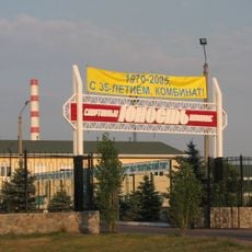
Yunist Stadium
37.9 km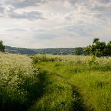
Luchkivskyi Landscape Reserve
4.9 km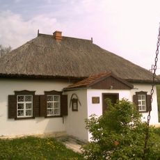
Oles Honchar Museum
6.9 km
Urochysche Lelia
24.6 km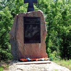
Monument to the Ukrainian Cossacks
32.8 km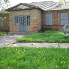
Білицький народний музей історії та художньо-ужиткового мистецтва
23 km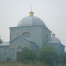
Saint John the Baptist church in Markivka
28.4 km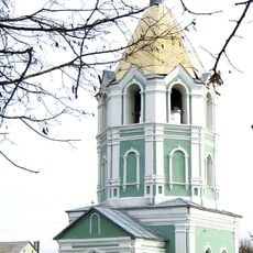
Saint Barbara church, Kytaihorod
29.3 km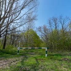
Horikhovyi sad
38.1 km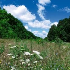
Balka Parna Reserve
37 km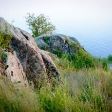
Keleberda, Natural Monument
35.5 km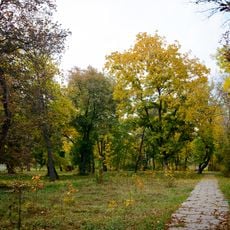
Park Vidpochynku in Novi Sanzhary
32.5 km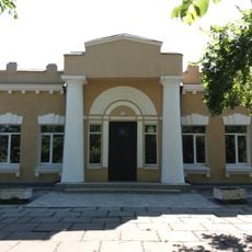
Solonytsia school
31.8 km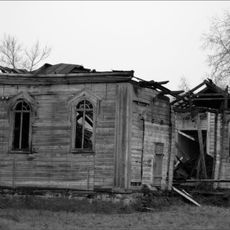
Saints Peter and Paul church, Velyki Solontsi
30.8 km
Shediievo
35.5 km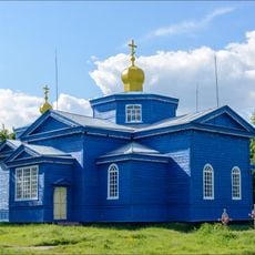
St. Elijah church in Perehonivka, Kobeliaky Raion
226 m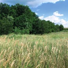
Urochysche Balka Durna Reserve
35.4 km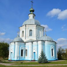
Church of the Dormition, Kytaihorod
29.3 km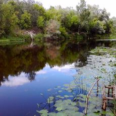
Sharivka Landscape Reserve
12.6 km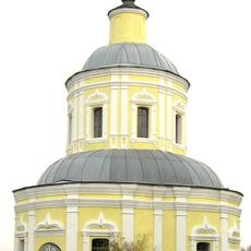
Saint Nicholas church, Kytaihorod
29.1 km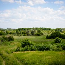
Perehonivskyi Landscape Reserve
6.5 km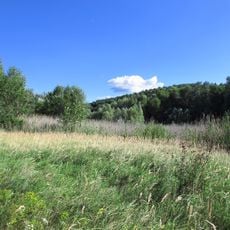
Urochysche Balka Klymova Reserve
33.5 km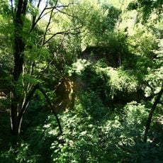
Urochysche Balka Hostra Reserve
33.2 kmReviews
Visited this place? Tap the stars to rate it and share your experience / photos with the community! Try now! You can cancel it anytime.
Discover hidden gems everywhere you go!
From secret cafés to breathtaking viewpoints, skip the crowded tourist spots and find places that match your style. Our app makes it easy with voice search, smart filtering, route optimization, and insider tips from travelers worldwide. Download now for the complete mobile experience.

A unique approach to discovering new places❞
— Le Figaro
All the places worth exploring❞
— France Info
A tailor-made excursion in just a few clicks❞
— 20 Minutes