Ruda, village in Skvyra Raion, Kyiv Oblast, Ukraine
Location: Skvyra urban hromada
Inception: 14 century
Elevation above the sea: 203 m
GPS coordinates: 49.79722,29.83611
Latest update: April 11, 2025 17:08

Arboretum Oleksandriya
16.7 km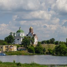
Замковая гора
19.7 km
Winter Palace, Bila Tserkva
19.6 km
Church of John the Baptist
19.7 km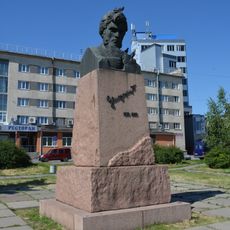
Monument to Petro Zaporozhets in Bila Tserkva
19.3 km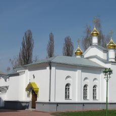
Saint Nicholas church in Bila Tserkva
19 km
Yaroslav the Wise
19.6 km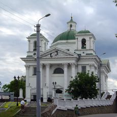
Castle Białej Cerkwi
19.7 km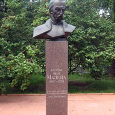
Monument to Ivan Mazepa in Mazepyntsi
17 km
Écho colonnade
16.6 km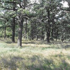
Голендерня
16.5 km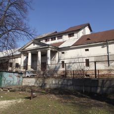
Storage building of Branicki magnates in Bila Tserkva
19.2 km
Post office complex in Bila Tserkva
19.6 km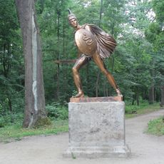
Greek warrior monument
17 km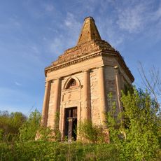
Church and burial vault of Podhorski family in Antoniv, Skvyra Raion
18.8 km
Zamek w Bukach
14.1 km
Paliy Oak
15.8 km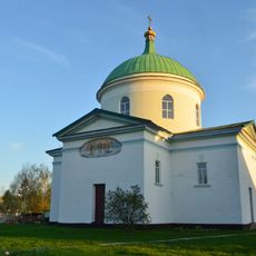
Saint Spyridon church in Shamraivka, Skvyra Raion
2.8 km
Synagoga w Skwirze
14 km
Isidore of Seville church, Bezpechna
7.1 km
House of Taubin in Bila Tserkva
19.7 km
Saint John of Nepomuk church, Skvyra
14.5 km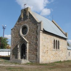
Saint Anthony of Padua church, Ruda
736 m
Liriodendron tulipifera, Skvyra
15 km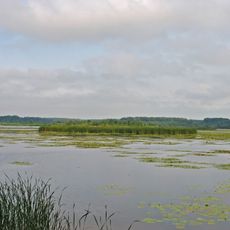
Dulitske
2.5 km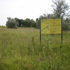
Kozhanska Balka Reserve
18.7 km
Urochyshche Chahari Reserve
16.6 km
Uiutne Reserve
15.7 kmVisited this place? Tap the stars to rate it and share your experience / photos with the community! Try now! You can cancel it anytime.
Discover hidden gems everywhere you go!
From secret cafés to breathtaking viewpoints, skip the crowded tourist spots and find places that match your style. Our app makes it easy with voice search, smart filtering, route optimization, and insider tips from travelers worldwide. Download now for the complete mobile experience.

A unique approach to discovering new places❞
— Le Figaro
All the places worth exploring❞
— France Info
A tailor-made excursion in just a few clicks❞
— 20 Minutes