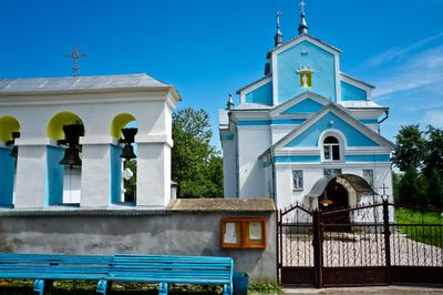
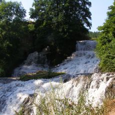
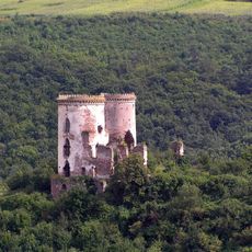
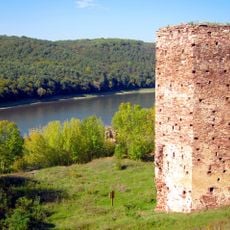
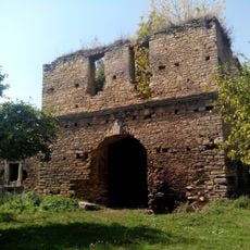
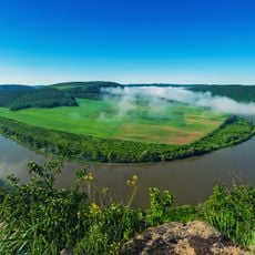
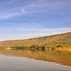
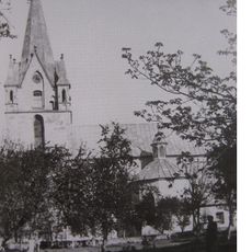
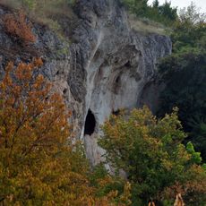
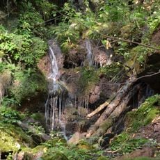
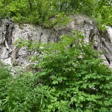
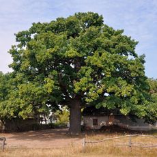
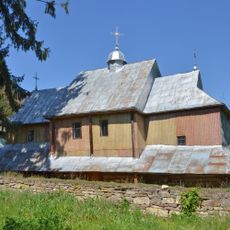
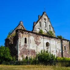
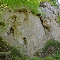
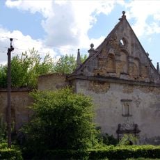
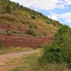
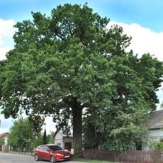
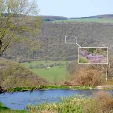
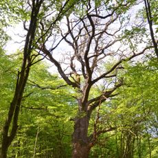
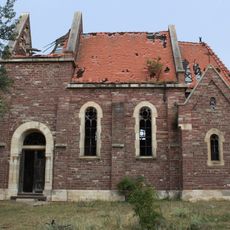
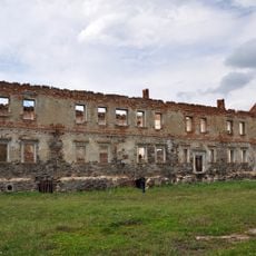
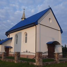
Chernelytsia, urban type settlement in Ivano-Frankivsk Oblast, Ukraine
Location: Horodenka Raion
Location: Kolomyia Raion
Elevation above the sea: 305 m
GPS coordinates: 48.81111,25.43000
Latest update: March 25, 2025 03:26
Waterfall Chervonohorod
11.6 km
Chervonohorod Castle
12.3 km
Bieniewski castle in Rakovets
9.5 km
Chernelytsia Castle
1.6 km
Dnistrovskyi Regional Landscape Park
10.2 km
Beremiany Rocky Steppe Area
6.8 km
Church of the Nativity of the Blessed Virgin Mary and Saint Shchepan in Zolotyi Potik
12.7 km
Travertine rocks
4.8 km
Sokilets Waterfalls
8.2 km
Dorohychivka Rocks
6.2 km
Lytiachi Oak
5.1 km
Church of the Intercession
8.2 km
Church of the Assumption, Nyrkiv
12.1 km
Monastery rock
8.2 km
Gniewosz Palace
12.4 km
Dominican church in Chernelytsia
362 m
Ustechko profile of Lower Devonian
11.8 km
Khmelivska Dilianka
6.7 km
Zolotyi Potik Quercus N2
12.6 km
Sokilets colony of herons
9.3 km
Beremiany Quercus
7.2 km
Dorohychivka Oaks
6.3 km
Saint Michael church
9.8 km
Shutromyntsi Quercus
7.4 km
Ustechkivska Dilianka
8.9 km
Roman Catholic church in Shutromyntsi
7.9 km
Potocki Palace
12.3 km
Roman Catholic chapel, Lytiachi
4.8 kmReviews
Visited this place? Tap the stars to rate it and share your experience / photos with the community! Try now! You can cancel it anytime.
Discover hidden gems everywhere you go!
From secret cafés to breathtaking viewpoints, skip the crowded tourist spots and find places that match your style. Our app makes it easy with voice search, smart filtering, route optimization, and insider tips from travelers worldwide. Download now for the complete mobile experience.
A unique approach to discovering new places❞
— Le Figaro
All the places worth exploring❞
— France Info
A tailor-made excursion in just a few clicks❞
— 20 Minutes