
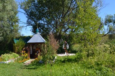
Source, Gidrological Natural Monument
Location: Sumy Oblast
Location: Romny urban hromada
Inception: September 27, 1973
GPS coordinates: 50.89219,33.39642
Latest update: April 4, 2025 05:45

Taras Shevchenko monument
16.9 km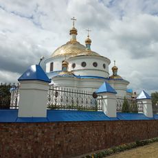
Church of the Ascension, Romny
17.4 km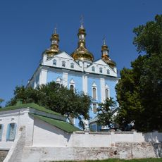
Holy Spirit Orthodox Cathedral in Romny
17.8 km
Romenskyy
16.7 km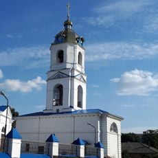
Bell tower of the church of the Ascension, Romny
17.4 km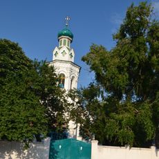
Василівська церква
17.8 km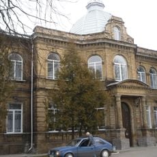
Земська лікарня
16.3 km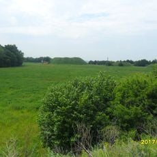
Oksyutynski mounds
17 km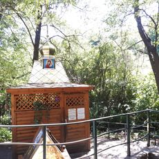
Well in Redchin ravine
16.2 km
Kostel in Romny
17.7 km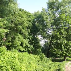
Ognivschina Park
15.8 km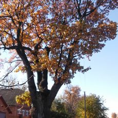
Garkushi oak
11 km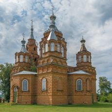
Holy Trinity
17.4 km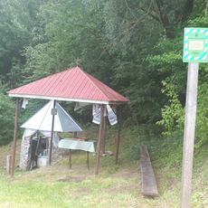
Sviata well
15.7 km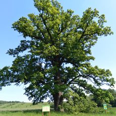
Oaks near the v. Kropyvyntsi
18.1 km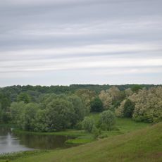
Ovlashi Landscape Reserve
13.3 km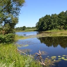
Sulky
17.4 km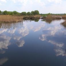
Pustoviytivskyy
17.9 km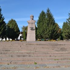
Ivan Fedko monument
16.7 km
Djerelni rozsipi
17.7 km
Kosarivshichina
10.1 km
Mikolayivskyy
11.5 km
Поштова контора
17.6 km
Borozenkivskyy
11.9 km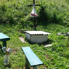
Джерело біля с. М. Бубни
17.5 km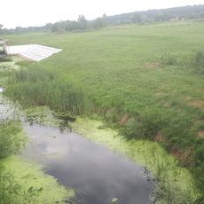
Vedmejinskyy
10 km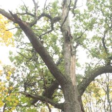
Oaks near Rogintsi
2.2 km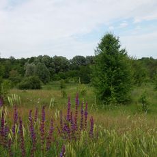
Джерело біля с. Гришине
17.2 kmReviews
Visited this place? Tap the stars to rate it and share your experience / photos with the community! Try now! You can cancel it anytime.
Discover hidden gems everywhere you go!
From secret cafés to breathtaking viewpoints, skip the crowded tourist spots and find places that match your style. Our app makes it easy with voice search, smart filtering, route optimization, and insider tips from travelers worldwide. Download now for the complete mobile experience.

A unique approach to discovering new places❞
— Le Figaro
All the places worth exploring❞
— France Info
A tailor-made excursion in just a few clicks❞
— 20 Minutes