
Balakleia rural hromada, об'єднана громада в Україні
Location: Smila Raion
Location: Cherkasy Raion
Capital city: Balakleia
GPS coordinates: 49.22306,31.71611
Latest update: March 10, 2025 12:00
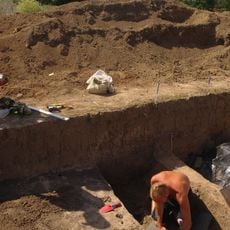
Pastyrske Hill Fort
27.1 km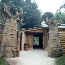
Cherkasy Zoo
30.9 km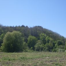
Shaieva hora
29.2 km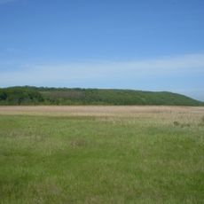
Yurova hora
10.8 km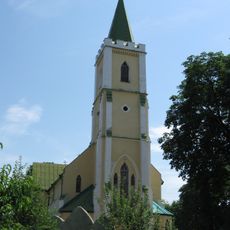
Michael Church
21.1 km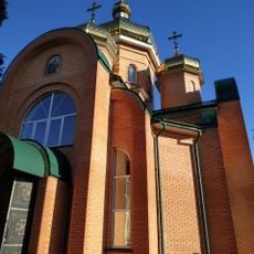
Church of the Nativity of St. John the Baptist (Smila)
12.3 km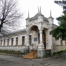
Smila Museum
12.1 km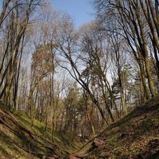
Moshenska Oakery
30.7 km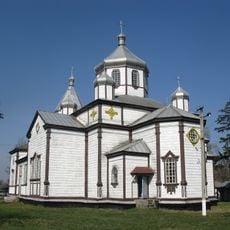
Church of Archangel Michael
28.3 km
Mliiv Research Station Arboretum
19 km
Smila City Park
12.8 km
Zarichchia
19.6 km
Dovzhyk
13.2 km
Imshan
28.4 km
Tsarevi yary
25.3 km
Shevchenko Square
0 m
Makiivske Horodishche
26.2 km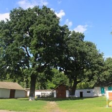
Багатовікові дерева дуба звичайного
12.2 km
Valiavskyi
17.5 km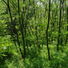
Chuiikhskyi
18.2 km
Sharpine
27.2 km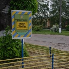
Old chestnut tree
18.4 km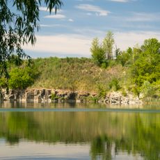
Khlystunivske outcrops number 2
19.9 km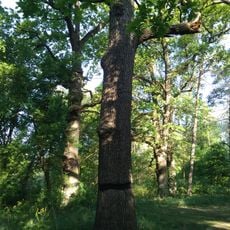
Age Group oaks 2.2
12.9 km
Zakrevskyi forest
25.1 km
Verhunove
18.4 km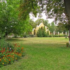
Monastyrskyi
18.1 km
Khlystunivske outcrops number 1
19.4 kmReviews
Visited this place? Tap the stars to rate it and share your experience / photos with the community! Try now! You can cancel it anytime.
Discover hidden gems everywhere you go!
From secret cafés to breathtaking viewpoints, skip the crowded tourist spots and find places that match your style. Our app makes it easy with voice search, smart filtering, route optimization, and insider tips from travelers worldwide. Download now for the complete mobile experience.

A unique approach to discovering new places❞
— Le Figaro
All the places worth exploring❞
— France Info
A tailor-made excursion in just a few clicks❞
— 20 Minutes