
Панський став, Гідрологічний заказник місцевого значення
Location: Sumy urban hromada
Location: Sumy Raion
Inception: October 25, 2019
GPS coordinates: 50.96871,34.99201
Latest update: March 15, 2025 21:20
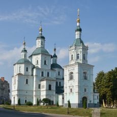
Voskresenska church in Sumy
14.8 km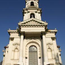
Trinity Cathedral in Sumy
13.6 km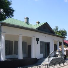
Anton Chekhov museum in Sumy
12 km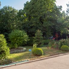
Asmolova park
13.5 km
Alexander's men's gymnasium, Sumy
14.2 km
Blessed Virgin Mary temple in Sumy
14.2 km
Kharytonenko Estate, Sumy
14.3 km
Молодіжний центр «Романтика»
14.4 km
Lintvarov estate in Sumy
12 km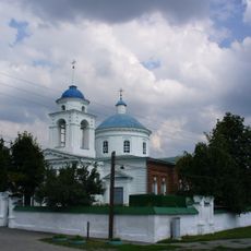
The church of the Nativity of John the Baptist in Sumy
12 km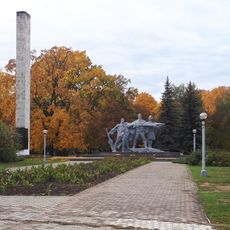
Monument to glory of heroes of Sumy
13.7 km
Kazka Park
14.2 km
Ботанічний сад «Юннатівський»
14.4 km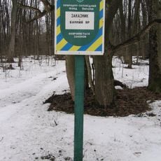
Bannyi Yar
9.9 km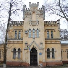
Complex of Saint Zenaida of Tarsus children's hospital, Sumy
13.5 km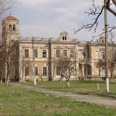
Kyianytsa Park
13.1 km
Mogritskyy
11.8 km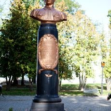
Bust of Stepan Suprun in Sumy
14.3 km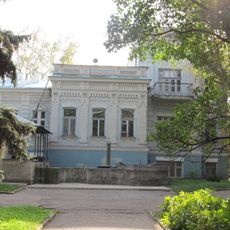
Asmolov manor
13.5 km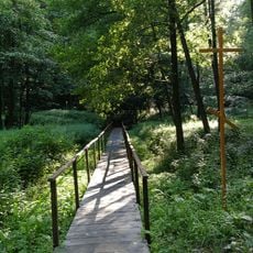
Vakalіvske source
9.3 km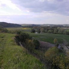
Miropilskyy
13.8 km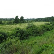
Bytytskyy
4.4 km
Будинок-музей А.П. Чехова
12 km
Vilshankivskyy
1.6 km
Palitsyn trees
13.1 km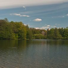
Кияницький заказник
13.5 km
Дуб на вул. Сергія Табали
14.8 km
2 Pryvokzalna Street, Sumy
13 kmVisited this place? Tap the stars to rate it and share your experience / photos with the community! Try now! You can cancel it anytime.
Discover hidden gems everywhere you go!
From secret cafés to breathtaking viewpoints, skip the crowded tourist spots and find places that match your style. Our app makes it easy with voice search, smart filtering, route optimization, and insider tips from travelers worldwide. Download now for the complete mobile experience.

A unique approach to discovering new places❞
— Le Figaro
All the places worth exploring❞
— France Info
A tailor-made excursion in just a few clicks❞
— 20 Minutes