Mohyliv-Podilskyi Urban Hromada, об'єднана громада в Україні
Location: Mohyliv-Podilskyi Raion
GPS coordinates: 48.44412,27.90039
Latest update: May 15, 2025 06:11
Mohyliv-Podilskyi Raion
5.6 km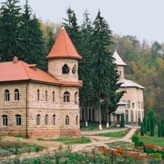
Rudi Monastery
11 km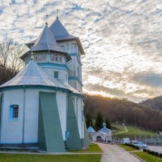
Călărășeuca monastery
6.1 km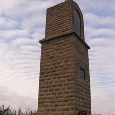
Stanisław Żółkiewski Memorial
11.9 km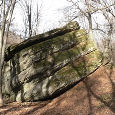
Haydamatsky ravine
18 km
Rudi Geodetic Point
14.1 km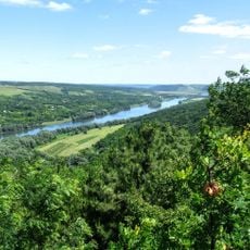
Rudi-Arionești landscape reserve
10.6 km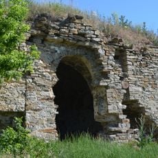
Ozaryntsi Castle
12.8 km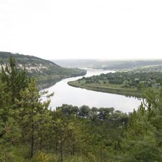
Dnister Regional Landscape Park
6.9 km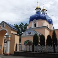
Saint Nicholas Orthodox cathedral in Mohyliv-Podilskyi
7.8 km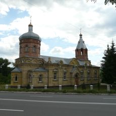
Saint Alexander Nevsky Orthodox church in Mohyliv-Podilskyi
6.3 km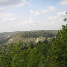
Bronnytska hora
4.7 km
Potocki Palace in Nemiya
10.5 km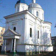
Saint George Orthodox church in Mohyliv-Podilskyi
8.2 km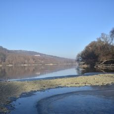
Unguri–Holoșnița
10 km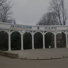
Mohyliv-Podilskyi park
7 km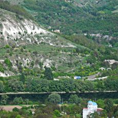
Călărașeuca landscape reserve
6.5 km
Spring of Codreni
13.2 km
Bronnytskyi zakaznyk
6.1 km
Bronnytsia Park
5.5 km
Murafa zakaznyk
11.5 km
Відслонення Могилівської світи
9.1 km
Hrabarivka Landscape Preserve
15.4 km
"La Izvoare" ravine
9.2 km
Cenomanian Limestones
3.3 km
Synagogue in Ozaryntsi
12.7 km
Saint Paraskeva church, Nemiia
9.9 km
Serebriya Spring
12.1 kmVisited this place? Tap the stars to rate it and share your experience / photos with the community! Try now! You can cancel it anytime.
Discover hidden gems everywhere you go!
From secret cafés to breathtaking viewpoints, skip the crowded tourist spots and find places that match your style. Our app makes it easy with voice search, smart filtering, route optimization, and insider tips from travelers worldwide. Download now for the complete mobile experience.

A unique approach to discovering new places❞
— Le Figaro
All the places worth exploring❞
— France Info
A tailor-made excursion in just a few clicks❞
— 20 Minutes