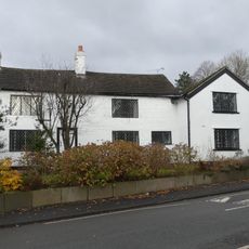
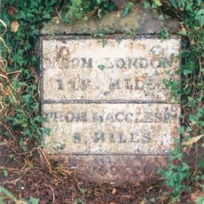
Poynton, Mining town in Cheshire East, England
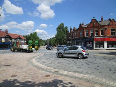
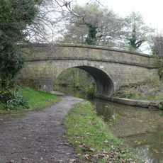
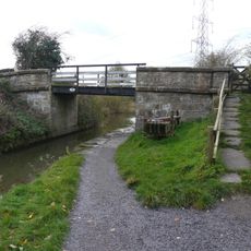
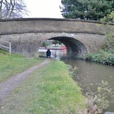
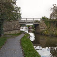
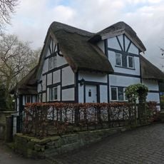
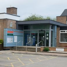
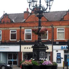
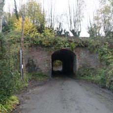
Poynton is a town with green spaces and residential areas near the Macclesfield Canal and railway links. The center was reshaped through a traffic scheme completed in 2011 that prioritizes pedestrian access.
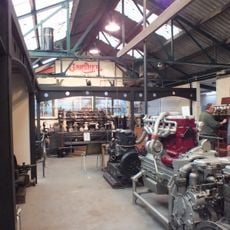
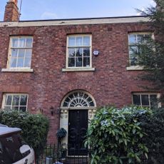
The settlement developed from a 13th-century manor held by the Poutrells family into Cheshire's largest coal mining center under the Lords Vernon until 1935. This transformation shaped the region for generations.
The Poynton Show, established in 1885, brings residents together each year for agricultural displays, crafts, and community gatherings. This event shapes local identity and shows how the town values its traditions.
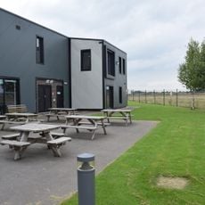
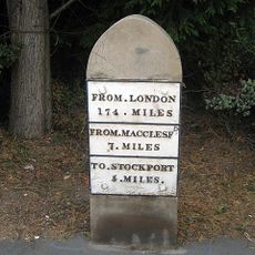
The town is easy to explore on foot and well served by public transport. The green spaces and redesigned central area provide plenty of room to walk and rest.
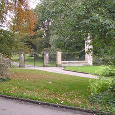
Poynton Pool is an artificial lake created in the 1760s by damming Poynton Brook. Today it remains a quiet water feature that recalls the landscape designs of earlier centuries.
Location: Poynton-with-Worth
Shares border with: Stockport
GPS coordinates: 53.34917,-2.12222
Latest update: December 7, 2025 10:01
Anson Engine Museum
2.1 km
St George's Church, Poynton
65 m
Avro Heritage Museum
2.5 km
Church of St Thomas
3 km
Legh Arms Public House
3.3 km
Canal Bridge Number 19
3.1 km
Bridge Number 17 over canal, north of Mitchelfold
3 km
Canal Bridge Number 18
2.7 km
Canal Bridge Number 14 - carries track to Red Legg Farm
2.7 km
Marsden House
3.1 km
Benja Cottage, Benja Fold
3.1 km
Icehouse at the site of Poynton Hall, 170m north of Towers Yard Farm
1.2 km
Milestone 125 Metres North Of Street Lane Farmhouse
1.8 km
Poynton War Memorial
34 m
Poynton Library
300 m
Old Timbers
3.3 km
Beech House, adjoining coach house and front railings
3.2 km
Milestone, 110 metres north of junction with Anglesea Drive
1.4 km
Gate piers, wing walls and gates to Adlington Hall on East Approach
3.3 km
Harestead Farmhouse
3.3 km
Wards End Old Farm
1.6 km
Guide Post, 18 Metres North Of Church Lych Gate
16 m
Canal aqueduct over Shrigley Road
3.1 km
50, London Road North
426 m
44 and 46, London Road North
380 m
Milestone 25 metres south of Redcroft
175 m
Milestone, London Road, Adlington
3.2 km
Milepost, Wellington Road, Hazel Grove, just N of studios
2.5 kmVisited this place? Tap the stars to rate it and share your experience / photos with the community! Try now! You can cancel it anytime.
Discover hidden gems everywhere you go!
From secret cafés to breathtaking viewpoints, skip the crowded tourist spots and find places that match your style. Our app makes it easy with voice search, smart filtering, route optimization, and insider tips from travelers worldwide. Download now for the complete mobile experience.
A unique approach to discovering new places❞
— Le Figaro
All the places worth exploring❞
— France Info
A tailor-made excursion in just a few clicks❞
— 20 Minutes