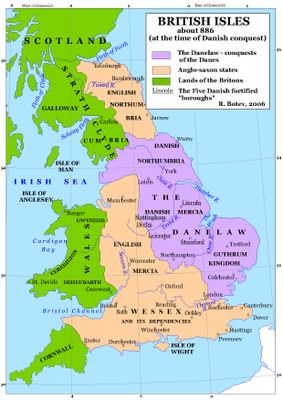
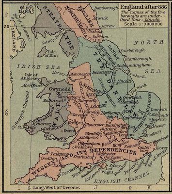
Danelaw, Medieval territory in northern and eastern England.
The Danelaw was a territory across northern and eastern England where Danish Vikings settled and lived under their own laws. It stretched from parts of London northward through the Midlands to Northumbria, covering counties where Scandinavian settlers mixed with the local population and shaped legal customs and administration.
After the Treaty of Wedmore in 878, King Alfred of Wessex agreed to divide England and granted this land to Danish settlers, creating a border between Anglo-Saxon and Norse rule. Danish communities maintained their independence for decades until English kings gradually reconquered the region and brought it back under central authority during the 10th century.
People living across this area speak English with traces of Norse influence woven into the dialect and everyday phrases. Travelers walking through Yorkshire or Lincolnshire notice place names ending in by, thorpe, or thwaite, reminders of the Scandinavian settlers who once farmed this land.
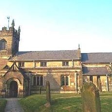
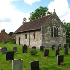
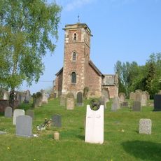
Travelers today visit cities like York, Lincoln, and Nottingham to explore traces of Scandinavian settlement, including museums and archaeological sites. The Jorvik Viking Centre in York offers insights into the lives of Danish inhabitants, while Lincoln features medieval structures reflecting the heritage of this period.
Danish leaders minted their own silver coins with Norse patterns and inscriptions, clearly different from the Anglo-Saxon currency used elsewhere in England. Some of these coins still bear runic letters and depict mythological symbols reflecting Scandinavian traditions and beliefs.
The community of curious travelers
AroundUs brings together thousands of curated places, local tips, and hidden gems, enriched daily by 60,000 contributors worldwide.