Enable Location

We need your location to show you interesting places around you

Discover nearby places

Find interesting locations and hidden gems around you

Precise directions

Get accurate directions and distances to places

Your location is never shared with other users. It's only used when you tap the location button.

Kings Langley

Log in to your account

Start exploring — it's free

Trusted by 61,781 travelers worldwide

Continue with Google
Continue with Apple
or

We will send you a code to connect

By continuing, you accept our Terms and Conditions and our Privacy Policy

Check your inbox

We've sent a pincode in your inbox. Please enter the code below.

Kings Langley, Administrative division in Dacorum, Hertfordshire, England.

Description

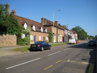
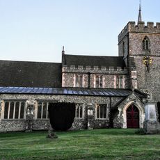
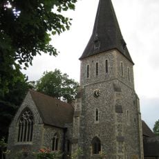
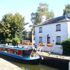
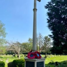
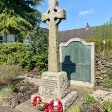
Kings Langley is a civil parish in Dacorum, Hertfordshire, England, serving as a local administrative area for the surrounding communities. It covers a mixed zone of residential neighborhoods and commercial properties.

History

The parish emerged as a local administrative unit within Hertfordshire with roots in the region's development. Its boundaries have evolved through various administrative changes over the years.

Culture

The district maintains regular community engagement through organized committees, consultations, and public meetings where residents participate in local governance decisions.

Practical

The area is best explored by foot or car as it spans different neighborhoods. It helps to check locally what services and facilities are available within the parish before planning a visit.

Did you know?

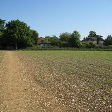
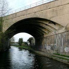
The territory stretches from Moore's Motors in the northern section to the M25 motorway in the south, encompassing both residential and commercial zones.

Location
GPS coordinates
51.71559,-0.45692
Latest update
December 18, 2025 20:06

AroundUs brings together thousands of curated places, local tips, and hidden gems, enriched daily by 60,000 contributors worldwide. Discover all places nearby (Dacorum).

Around this place
Kings Langley Palace
United Kingdom

Kings Langley Palace

498 m
Shendish Manor
United Kingdom

Shendish Manor

1.6 km
Church of All Saints, Kings Langley
United Kingdom

Church of All Saints, Kings Langley

813 m
United Kingdom

Langley House

683 m
Church of St Mary
United Kingdom

Church of St Mary

2.2 km
United Kingdom

Snatchup End Cottages

2.1 km
Hyde Monument In All Saints Churchyard (16 Metres To East Of Church)
United Kingdom

Hyde Monument In All Saints Churchyard (16 Metres To East Of Church)

842 m
Church House
United Kingdom

Church House

769 m
Home Park Lock House
United Kingdom

Home Park Lock House

1.4 km
The Rose And Crown Public House
United Kingdom

The Rose And Crown Public House

729 m
Home Park Lock
United Kingdom

Home Park Lock

1.4 km
Sunbury Hill Farm
United Kingdom

Sunbury Hill Farm

1.6 km
Wotton Monuments In All Saints Churchyard (35 Metres To East Of Church)
United Kingdom

Wotton Monuments In All Saints Churchyard (35 Metres To East Of Church)

849 m
United Kingdom

11 and 12 Home Park Cottages, Station Road

1.3 km
The Saracen Head Public House
United Kingdom

The Saracen Head Public House

621 m
United Kingdom

7, 8, 9 and 10 Home Park Cottages, Station Road

1.3 km
Bridge Carrying Railway Over North End Of Road
United Kingdom

Bridge Carrying Railway Over North End Of Road

1.1 km
Priory Remains (now Part Of The New School) And Attached Buildings
United Kingdom

Priory Remains (now Part Of The New School) And Attached Buildings

377 m
United Kingdom

Vine Cottage

340 m
Kings Langley War Memorial
United Kingdom

Kings Langley War Memorial

841 m
John Dickinson & Co war memorial
United Kingdom

John Dickinson & Co war memorial

2 km
United Kingdom

The Eagle Public House And Adjoining Garage To No 129

1.1 km
United Kingdom

Moat Cottage Facing Onto Water Lane

882 m
United Kingdom

1 and 2 Home Park Cottages, Station Road

1.3 km
Nash Mills Lock On Grand Union Canal
United Kingdom

Nash Mills Lock On Grand Union Canal

1.6 km
Blue Court
United Kingdom

Blue Court

732 m
Nash Mills Railway Bridge
United Kingdom

Nash Mills Railway Bridge

1.1 km
United Kingdom

The Old Cottage Restaurant

514 m
Show the full map
« Kings Langley - Administrative division in Dacorum, Hertfordshire, England » is provided by Around Us (aroundus.com). Images and texts are derived from Wikimedia project under a Creative Commons license. You are allowed to copy, distribute, and modify copies of this page, under the conditions set by the license, as long as this note is clearly visible.

Discover hidden gems everywhere you go!

From secret cafés to breathtaking viewpoints, skip the crowded tourist spots and find places that match your style. Our app makes it easy with voice search, smart filtering, route optimization, and insider tips from travelers worldwide. Download now for the complete mobile experience.

Around Us App Screenshot

A unique approach to discovering new places

Le Figaro

All the places worth exploring

France Info

A tailor-made excursion in just a few clicks

20 Minutes

Around Us
Travel Guide & Maps
Download

Send to your phone

QR Code
1

Open the camera app on your mobile.

2

Point at the QR code with your camera. A notification will appear.

3

Tap the notification to open the link.