Manduessedum, Archaeological site in Warwickshire, England
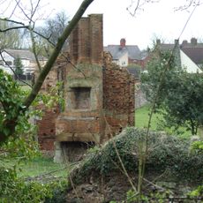
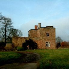
Manduessedum is a Roman archaeological site in Warwickshire featuring the remains of structures, ditches, and fortifications spread across several acres. The location sits near a significant crossing point over the River Anker and shows evidence of a substantial settlement with a complex layout.
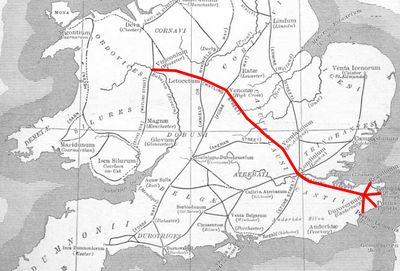
The site began around 50 CE as a Roman fort along Watling Street and later became a civilian settlement after military forces left. This transformation happened gradually and shaped the region's economic development.
The settlement became known for making pottery on a large scale, with production focused on specific vessel types that were sold across the Roman world. This craft tradition shaped how people lived and worked in the community.
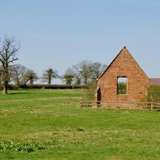
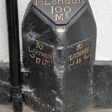
The site can be visited for research and exploration, though visitors should expect an open archaeological landscape that changes with ongoing work. It is worth checking conditions before visiting and wearing sturdy footwear.
Buried beneath the remains is evidence of a wide defensive ditch system that has survived for nearly two thousand years. Excavations have also uncovered pottery fragments from the later period of Roman rule, showing how long people inhabited this place.
The community of curious travelers
AroundUs brings together thousands of curated places, local tips, and hidden gems, enriched daily by 60,000 contributors worldwide.