Dartmoor, Moorland in Devon, England
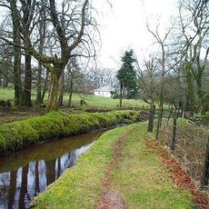
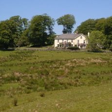
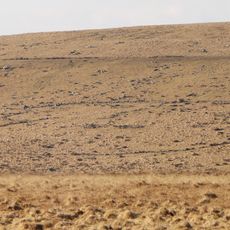
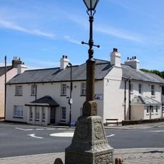
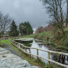
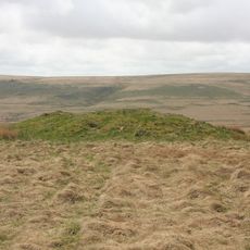
Dartmoor is a moorland in southern Devon shaped by rough granite outcrops, shallow valleys, and narrow watercourses. The terrain shifts between bare hilltops and green hollows where small woodlands and farms sit.
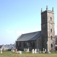
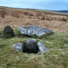
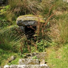
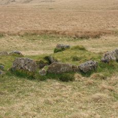
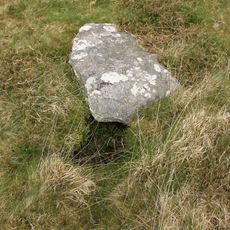
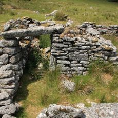
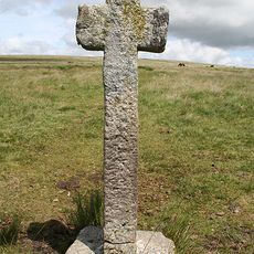
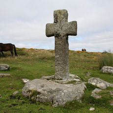
The area was settled during the Bronze Age, and remains of huts and stone circles are still visible today. In medieval times, miners began extracting tin, and their workings shape the landscape.
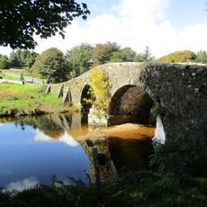
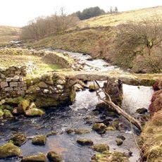
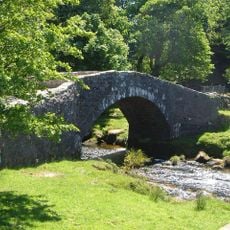
Flat granite slabs known as clapper bridges span many streams, showing how people have crossed the terrain for centuries. Local sheep farmers still drive their flocks across the open grazing land, just as their ancestors did.
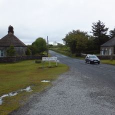
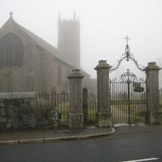
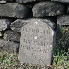
You can explore the area on foot or horseback, though some paths are firmer than others. Fog can roll in quickly and reduce visibility, so carrying a map helps.
Some valleys hold oak woodlands shaped heavily by wind, making the trees appear crooked and gnarled. Their branches bend low because they face the weather conditions found at higher elevation.
The community of curious travelers
AroundUs brings together thousands of curated places, local tips, and hidden gems, enriched daily by 60,000 contributors worldwide.