Notting Hill, Residential district in West London, England
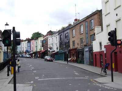
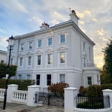
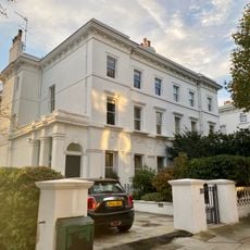
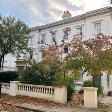
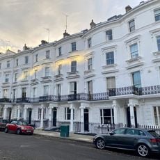
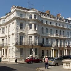
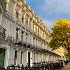
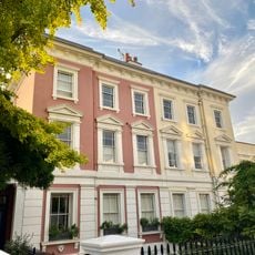
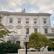
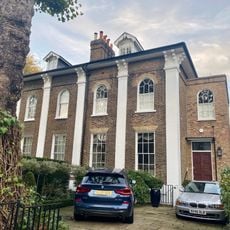
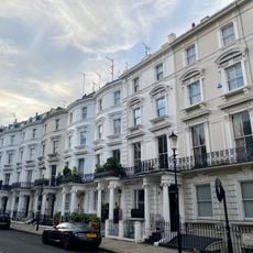
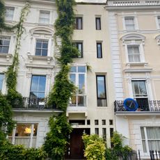
Notting Hill is a residential area in West London that forms part of the Royal Borough of Kensington and Chelsea and is marked by Victorian terraces, modern shops, and parks. The streets run from Portobello Road in the north to the border with Holland Park in the south, creating a web of avenues with white facades and green squares.
The area changed from farmland to a prosperous residential district in the 19th century when the Ladbroke family subdivided the land and created communal gardens. Later the neighborhood became a center for Caribbean migrants who moved here from the 1950s onward and shaped the local culture permanently.
The name Notting Hill comes from an old settlement on a low ridge that was recorded in medieval times. Today the neighborhood is known for its mix of residents from different backgrounds who live in the pastel-painted houses and use the small cafes and bookshops.
The neighborhood can be reached via the Underground stations Notting Hill Gate, Ladbroke Grove, and Westbourne Park on the Central and Circle lines. Most shops and markets are within walking distance since the area is compact and the streets are well signposted.
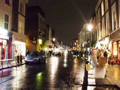
Portobello Road Market stretches for about two miles and counts hundreds of dealers selling antiques, vintage clothing, and collectibles every Saturday. The market began in the 19th century and is now one of the longest street markets in Europe.
The community of curious travelers
AroundUs brings together thousands of curated places, local tips, and hidden gems, enriched daily by 60,000 contributors worldwide.