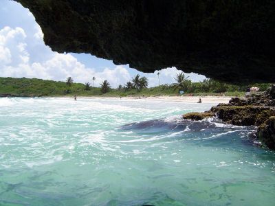
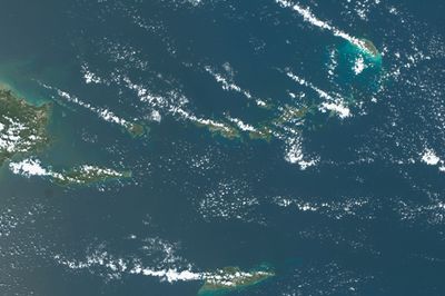
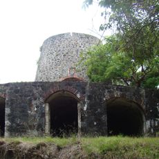
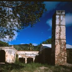
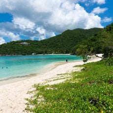
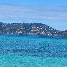
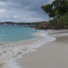
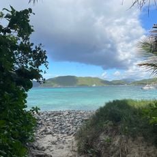
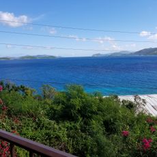
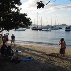
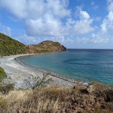
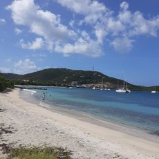
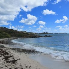
Virgin Islands, Caribbean archipelago between North Atlantic Ocean and Caribbean Sea.
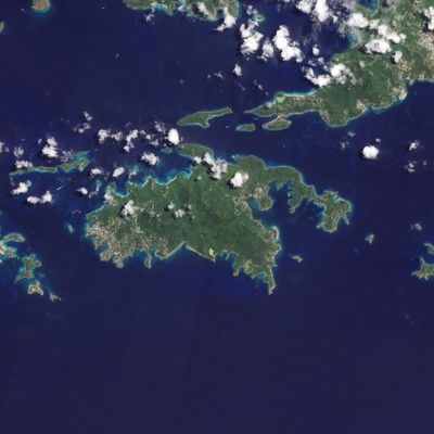
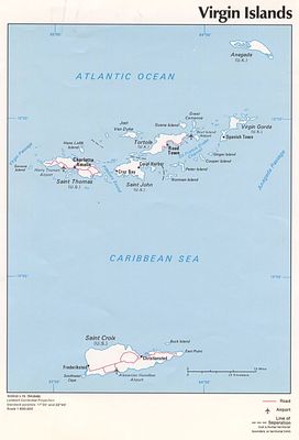
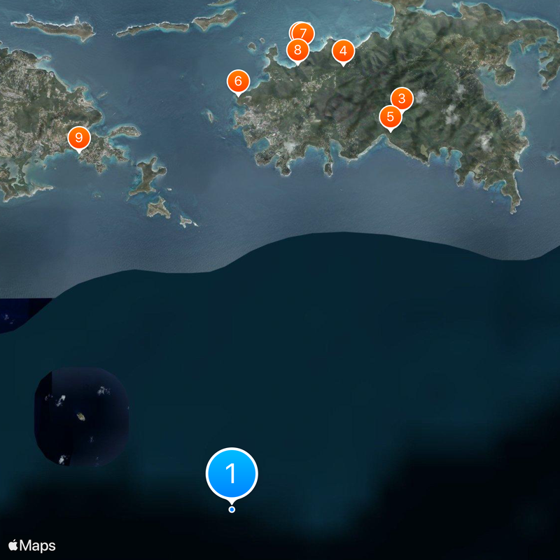
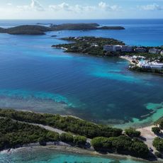
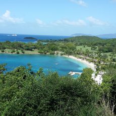
The Virgin Islands include roughly 90 islands, islets, and cays scattered over a span of about 100 kilometers, covering a total area of around 500 square kilometers. The chain sits between the North Atlantic Ocean and the Caribbean Sea, divided into three separate political administrations: British, US, and Puerto Rican.
Denmark sold its islands to the United States in 1917 for 25 million dollars in gold, creating the current territorial division. Britain retained the eastern islands, while Puerto Rico administered the smallest western islets under Spanish inheritance.
People speak English and Virgin Islands Creole in the British and US territories, while Spanish is the main language in the Puerto Rican sections. You hear these languages in shops, markets, and conversations along the waterfront, reflecting the different colonial influences across the chain.
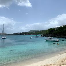
Driving takes place on the left side throughout the territories, though most vehicles have steering wheels on the left, which can feel unusual at first. Ferries and small aircraft connect the islands regularly, as many of the populated spots are only a few kilometers apart.
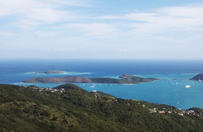
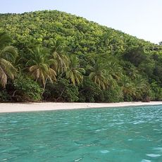
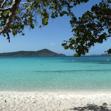
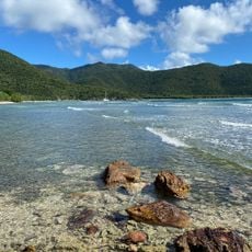
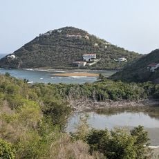
Mount Sage on Tortola rises to around 520 meters (1710 feet) and marks the highest point across the entire chain. From there you can see neighboring islands on clear days, some of which lie just a few kilometers away.
The community of curious travelers
AroundUs brings together thousands of curated places, local tips, and hidden gems, enriched daily by 60,000 contributors worldwide.