Windsor, Royal market town in Berkshire, England
Windsor is a market town in Berkshire, England, that spreads along both banks of the River Thames. The centre sits on the southern bank below the castle walls, while Windsor Bridge crosses the water to link the town with Eton on the opposite side.
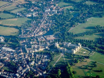
William the Conqueror chose this location in 1070 for a timber fortress that later grew into the largest inhabited castle in the world. The settlement expanded around the royal residence and gained market rights in the 12th century, encouraging trade along the riverbank.
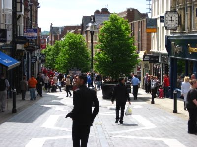
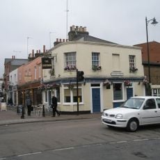
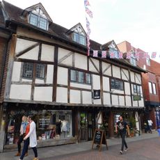
The town carries its name from an Old English word meaning riverbank with a windlass, pointing to the early use of the waterfront for unloading goods. Locals often refer to the centre simply as the High Street, where shops and tearooms cater to pedestrians moving between castle visits and riverside walks.
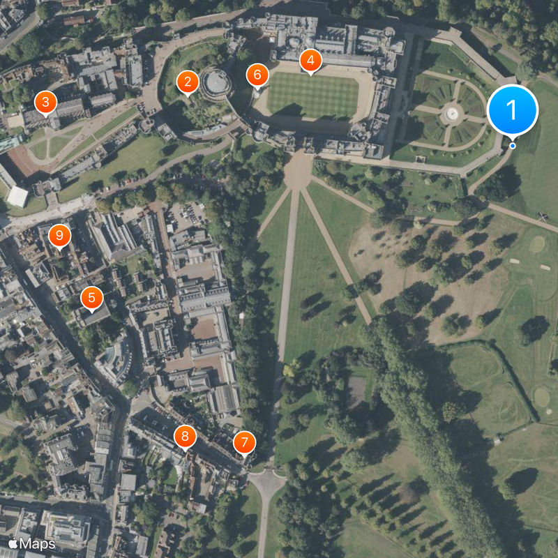
Two railway stations, Windsor & Eton Central and Windsor & Eton Riverside, link the town directly to London Waterloo and London Paddington. Walking routes run from the centre along the river and through the park, with flat terrain making movement easy.
The park holds a straight path running over four kilometers (2.65 miles) called The Long Walk, leading directly toward the castle. Deer move freely across the parkland and are often visible near the footpaths.
The community of curious travelers
AroundUs brings together thousands of curated places, local tips, and hidden gems, enriched daily by 60,000 contributors worldwide.