
Drayton, village and civil parish in Broadland, Norfolk, United Kingdom
Location: Broadland
Website: https://draytonpc.norfolkparishes.gov.uk
GPS coordinates: 52.67500,1.22500
Latest update: March 22, 2025 09:53
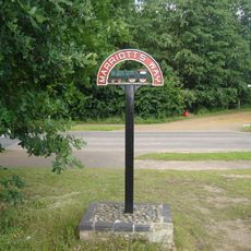
Marriott's Way
1.4 km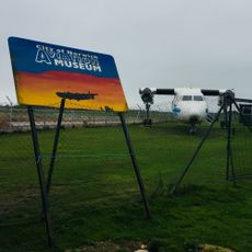
City of Norwich Aviation Museum
3.5 km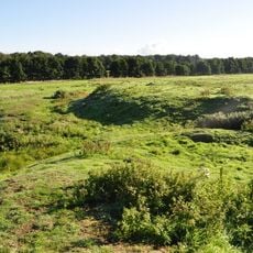
Horsford Castle
3.3 km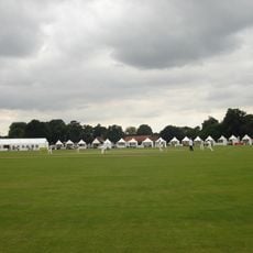
Manor Park, Horsford
2.4 km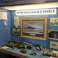
City of Norwich Aviation Museum
3.3 km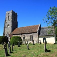
Parish Church of All Saints
2.5 km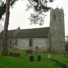
Parish Church of St Edmund
2.1 km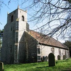
Parish Church of St Margaret
4 km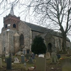
Church of St Edmund
1.1 km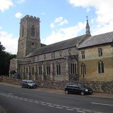
Church of the Blessed Virgin and St Andrew
3.8 km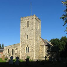
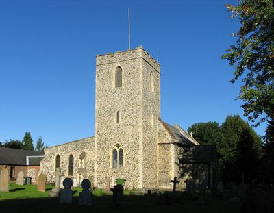
Parish Church of St Margaret
287 m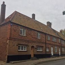
2-5, Church Street
3.8 km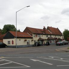
The Red Lion
183 m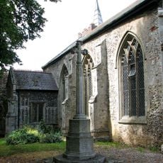
Costessey War Memorial
1.1 km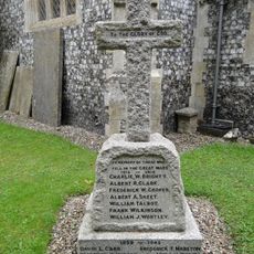
Taverham War Memorial
2.1 km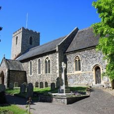
Drayton War Memorial
266 m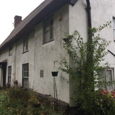
The Kennels
3.7 km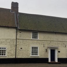
Waytes House
3.8 km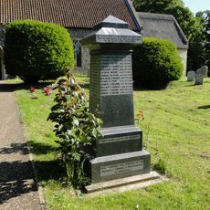
Horsford War Memorial
2.4 km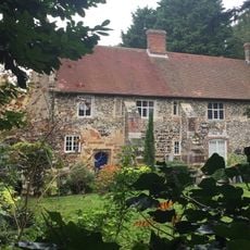
The Priory
3.9 km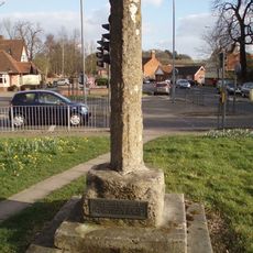
Village cross 160m south of St Margaret's Church
133 m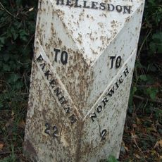
Milepost, 190yds W of entrance to Royal Norwich Golf Club. Opp. school playing fields
2.9 km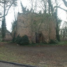
Drayton Lodge
603 m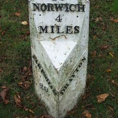
Milepost, 20yds W of jct with Taverham Rd
282 m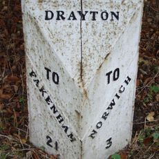
Milepost, 150yds E of jct with Hurn Rd. Just E of entrance to former David Rice Hospital
1.3 km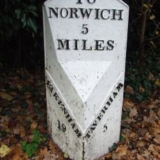
Milepost, Fakenham Road, opp. No. 230
1.9 km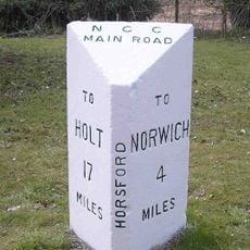
Milepost, 100m S of jct with Drayton Lane
2.3 km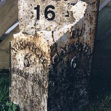
Milepost, N side of The Brickmakers PH
3.4 kmVisited this place? Tap the stars to rate it and share your experience / photos with the community! Try now! You can cancel it anytime.
Discover hidden gems everywhere you go!
From secret cafés to breathtaking viewpoints, skip the crowded tourist spots and find places that match your style. Our app makes it easy with voice search, smart filtering, route optimization, and insider tips from travelers worldwide. Download now for the complete mobile experience.

A unique approach to discovering new places❞
— Le Figaro
All the places worth exploring❞
— France Info
A tailor-made excursion in just a few clicks❞
— 20 Minutes