
Bodicote, village and civil parish in Cherwell district, Oxfordshire, England
Location: Cherwell
Shares border with: Banbury, Bloxham, Adderbury
Website: http://bodicoteparishcouncil.co.uk
GPS coordinates: 52.03600,-1.33100
Latest update: March 8, 2025 11:13
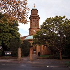
Church of St Mary
2.9 km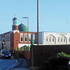
Banbury Mosque
2.9 km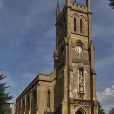
Church of St John the Evangelist (Roman Catholic)
2.5 km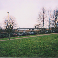
Primary schools in Banbury
2.7 km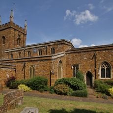
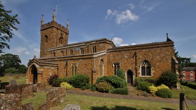
Church of St John the Baptist, Bodicote
34 m
Church of St Mary, Adderbury
2.6 km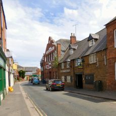
Wheatsheaf Inn
2.8 km
Baptist Chapel Facade To Fine Fare Supermarket
2.9 km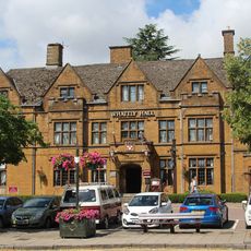
Whately Hall Hotel
2.9 km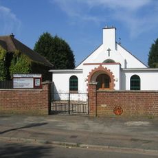
Saint Hugh's Church
1.9 km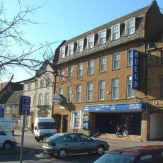
Odeon Banbury
2.8 km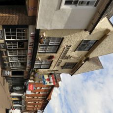
M And B Banbury Cross Public House
2.9 km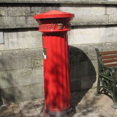
Pillar Box Approximately 1 Metre East Of Wall In Front Of Town Hall
2.9 km
Adderbury Library
2.6 km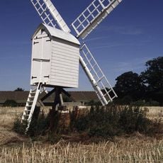
Windmill At Bloxham Grove Farm
1.1 km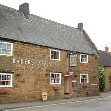
Baker's Arms Public House
22 m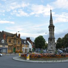
Banbury Cross
2.8 km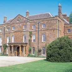
Adderbury House
2.7 km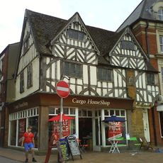
Carpenters
2.9 km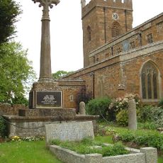
Bodicote War Memorial
54 m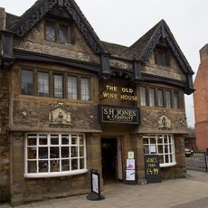
The Old Wine House
2.8 km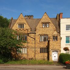
F B Hancock Solicitors
2.9 km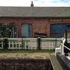
Canal Building Approximately 10 Metres West Of King's Sutton Lock Oxford Canal
3.3 km
Linden House
2.8 km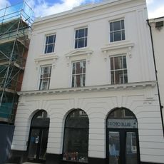
The Edinburgh Woolen Mill
2.9 km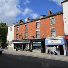
Banbury Cross Tobacconist Marshall's R S Malcolm
2.8 km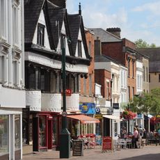
Browns Clays Butchers Lunn Poly
2.9 km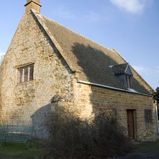
Friends Meeting House
2.5 kmVisited this place? Tap the stars to rate it and share your experience / photos with the community! Try now! You can cancel it anytime.
Discover hidden gems everywhere you go!
From secret cafés to breathtaking viewpoints, skip the crowded tourist spots and find places that match your style. Our app makes it easy with voice search, smart filtering, route optimization, and insider tips from travelers worldwide. Download now for the complete mobile experience.

A unique approach to discovering new places❞
— Le Figaro
All the places worth exploring❞
— France Info
A tailor-made excursion in just a few clicks❞
— 20 Minutes