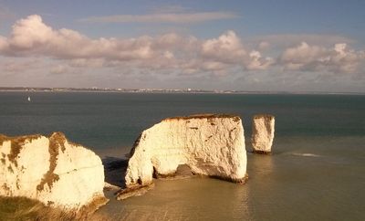
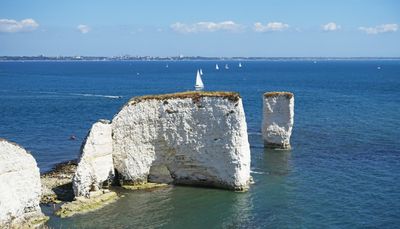
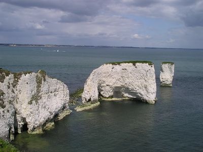
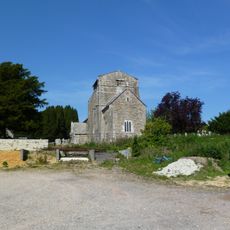
Old Harry Rocks, Chalk formations at Handfast Point, Dorset, England
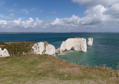
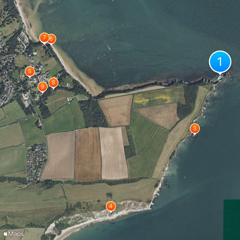
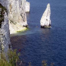
Old Harry Rocks is a group of white chalk stacks rising from the sea off Handfast Point in southern England. The towers and stumps mark the eastern end of the Jurassic Coast and stand several meters offshore from the clifftop.
The chalk formations took shape 84 million years ago during the Late Cretaceous period from deposits of marine organisms. Erosion from wind and waves continues to shape the rocks and gradually wears them back.
The name may come from Harry Paye, a pirate from Poole who used the rocks to hide his ship during coastal raids. The white towers now serve as a landmark for walkers and photographers traveling along the southern shore.
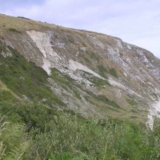
A 40-minute walk from the South Beach car park on Manor Road follows the South West Coast Path to the rocks. The route traces the clifftop and offers several viewpoints overlooking the water.
British pilots used these rocks as target practice during the Second World War and left behind .303 shell cases. Divers still find these cases on the seabed around the formation today.
Location: Dorset
GPS coordinates: 50.64230,-1.92360
Latest update: December 13, 2025 19:28
Fort Henry
1.7 km
The Pinnacles
609 m
Ballard Cliff
1.7 km
Parish Church of Saint Nicholas, Studland
1.9 km
Pillbox Below Redend Point
1.7 km
Gun Emplacement And Fort Henry
1.7 km
2 And 3, Watery Lane
1.6 km4 And 5, Watery Lane
1.7 kmThe King Barrow 200m south east of The Warren Wood
1 kmCoach House At Manor House, 6M East Of Manor Farm House
1.8 km11, School Lane
1.9 kmWalden Aston Monument, In The Churchyard C10M West Of West Wall Of The Church Of Saint Nicholas
1.9 kmThe Manor House
1.8 kmBeach Cottage
2 kmBankes Family Monument C3M East Of Thomas Hobson Monument In The Churchyard Of Church Of St Nicholas
1.8 kmThomas Hobson Monument, In The Churchyard, Circa 8 Metres South Of The Chancel Of The Church Of Saint Nicholas
1.8 kmAnti-Tank Pimples
2 kmGroup of three round barrows on Ballard Down
1.9 kmManor Farm House And Manor Cottage (Including Front Boundary Wall)
1.9 kmBowl barrow at the eastern end of Ballard Down
1.8 kmUnidentified Monument In The Churchyard, 1M South Of The Thomas Hobson Monument
1.8 kmFrancis Thornton Monument, In The Churchyard C20M North-West Of The West Wall Of The Church Of Saint Nicholas
1.9 kmMain Barn At Manor Farm, C40M East Of Manor Farm House
1.8 kmChurch Cottage
1.8 kmNew Swanage to Studland Bay
517 mSouth Beach
1.4 kmViewpoint to Old Harry Rocks
365 mScenic viewpoint
1.6 kmVisited this place? Tap the stars to rate it and share your experience / photos with the community! Try now! You can cancel it anytime.
Discover hidden gems everywhere you go!
From secret cafés to breathtaking viewpoints, skip the crowded tourist spots and find places that match your style. Our app makes it easy with voice search, smart filtering, route optimization, and insider tips from travelers worldwide. Download now for the complete mobile experience.
A unique approach to discovering new places❞
— Le Figaro
All the places worth exploring❞
— France Info
A tailor-made excursion in just a few clicks❞
— 20 Minutes