Enable Location

We need your location to show you interesting places around you

Discover nearby places

Find interesting locations and hidden gems around you

Precise directions

Get accurate directions and distances to places

Your location is never shared with other users. It's only used when you tap the location button.

Jurassic Coast

Log in to your account

Start exploring — it's free

Trusted by 61,437 travelers worldwide

Continue with Google
Continue with Apple
or

We will send you a code to connect

By continuing, you accept our Terms and Conditions and our Privacy Policy

Check your inbox

We've sent a pincode in your inbox. Please enter the code below.

Jurassic Coast, Coastal World Heritage Site in Dorset, England.

Description

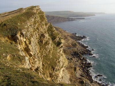
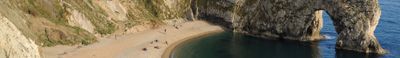
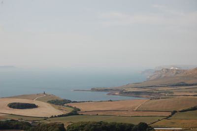
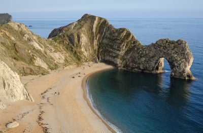
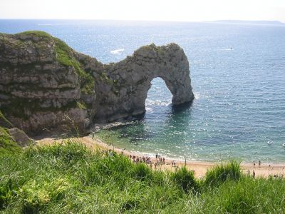
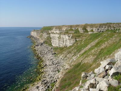
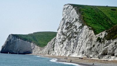
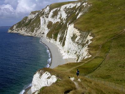
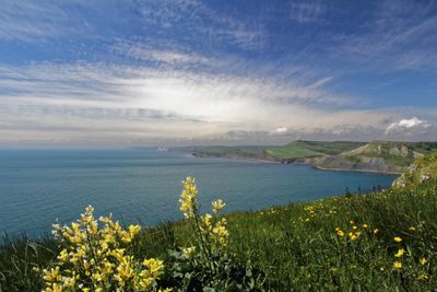
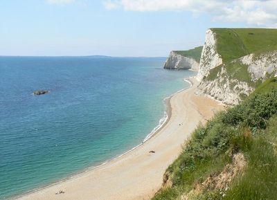
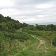
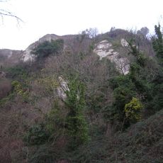
Jurassic Coast is a stretch of shoreline in southern England running roughly 95 miles (150 kilometers) from Exmouth in Devon to Studland Bay in Dorset. Limestone cliffs alternate with sandy coves, natural stone arches, and rock formations that stand directly at the water's edge.

History

The rock sequences along this coast formed over a span of roughly 185 million years, covering the Triassic, Jurassic, and Cretaceous periods. Scientific study of the fossil finds began in the 18th century and later became a foundation for modern palaeontology.

Culture

The name refers to the rock layers from the Jurassic period that lie exposed along many beaches and cliffs. Visitors often search for fossils themselves, especially at Charmouth beach, where ammonites and other remains appear regularly in the pebbles.

Practical

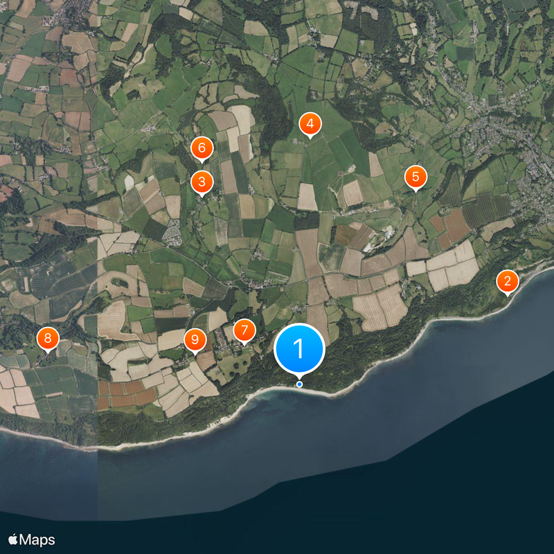
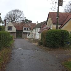
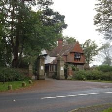
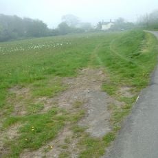
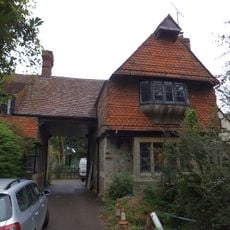
The coastal path can be entered at several points, with parking available in larger towns such as Lyme Regis or Charmouth. Some sections are steep and slippery, especially after rain, so sturdy footwear helps.

Did you know?

The layers here do not lie flat but have been tilted and folded by earth movements, so a walk along the coast literally takes you through geological time. At some beaches, a few steps separate rocks that are millions of years apart.

Location
Location
GPS coordinates
50.70556,-2.98989
Latest update
December 12, 2025 21:10

AroundUs brings together thousands of curated places, local tips, and hidden gems, enriched daily by 60,000 contributors worldwide. Discover all places nearby (Dorset).

Around this place
Ware Cliffs
United Kingdom

Ware Cliffs

2.8 km
Church of St Mary
United Kingdom

Church of St Mary

2.6 km
United Kingdom

Round barrow cemetery on Shapwick Hill

3.1 km
Cannington Viaduct
United Kingdom

Cannington Viaduct

2.8 km
United Kingdom

Marlborough Cottage

3 km
All Hallows School Including Former Stables Adjoining West And Forecourt Area Wall And Gate Piers To North
United Kingdom

All Hallows School Including Former Stables Adjoining West And Forecourt Area Wall And Gate Piers To North

852 m
United Kingdom

Bindon Manor House

3.2 km
West Lodges At All Hallows School
United Kingdom

West Lodges At All Hallows School

1.4 km
United Kingdom

Roman villa 300yds (270m) SSW of Holcombe Farm

3.1 km
North Lodge And Gate Piers At All Hallows School
United Kingdom

North Lodge And Gate Piers At All Hallows School

1.3 km
Pinhay
United Kingdom

Pinhay

1.9 km
East Lodges At All Hallows School
United Kingdom

East Lodges At All Hallows School

783 m
Underhill Dairy Farm House
United Kingdom

Underhill Dairy Farm House

2.9 km
Dowlands Farmhouse
United Kingdom

Dowlands Farmhouse

1.5 km
Film Studio At All Hallows School The Old Church
United Kingdom

Film Studio At All Hallows School The Old Church

940 m
United Kingdom

Kitchen Garden Walls And Lodge To North West, West South West Of All Hallows School

966 m
Mile Post North Of North Lodge
United Kingdom

Mile Post North Of North Lodge

1.4 km
Whitlands
United Kingdom

Whitlands

1.1 km
United Kingdom

Rousdon Village School And Schoolmaster's House Including Area Wall To South

1.4 km
United Kingdom

Ware Farmhouse

2.9 km
United Kingdom

Dower House

3.2 km
United Kingdom

Lodge Immediately South West Of Former Home Farm, West North West Of All Hallows School

1.1 km
United Kingdom

Barn Immediately South Of Manor House

2.7 km
United Kingdom

Smithy Immediately North Of Former Home Farm, North West Of All Hallows School

1.1 km
United Kingdom

Manor Farmhouse Manor House

2.7 km
Axmouth to Lyme Regis Undercliffs
United Kingdom

Axmouth to Lyme Regis Undercliffs

2.1 km
United Kingdom

Chimney Rock

2.9 km
United Kingdom

Scenic viewpoint

873 m
Show the full map
« Jurassic Coast - Coastal World Heritage Site in Dorset, England » is provided by Around Us (aroundus.com). Images and texts are derived from Wikimedia project under a Creative Commons license. You are allowed to copy, distribute, and modify copies of this page, under the conditions set by the license, as long as this note is clearly visible.

Discover hidden gems everywhere you go!

From secret cafés to breathtaking viewpoints, skip the crowded tourist spots and find places that match your style. Our app makes it easy with voice search, smart filtering, route optimization, and insider tips from travelers worldwide. Download now for the complete mobile experience.

Around Us App Screenshot

A unique approach to discovering new places

Le Figaro

All the places worth exploring

France Info

A tailor-made excursion in just a few clicks

20 Minutes

Around Us
Travel Guide & Maps
Download

Send to your phone

QR Code
1

Open the camera app on your mobile.

2

Point at the QR code with your camera. A notification will appear.

3

Tap the notification to open the link.