
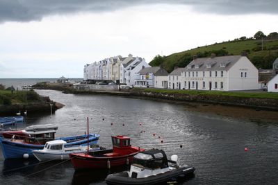
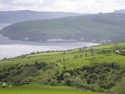
Cushendun, village in County Antrim, Northern Ireland, UK
Location: County Antrim
Website: http://www.northantrim.com/cushendun.htm
Website: http://northantrim.com/cushendun.htm
GPS coordinates: 55.12530,-6.04265
Latest update: May 2, 2025 21:49
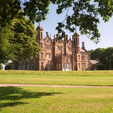
Glenarm Castle
18.6 km
Kinbane Castle
19.6 km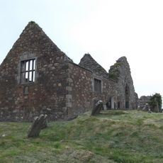
Bonamargy Abbey
14.7 km
Red Bay Castle
6.5 km
Trostan
11.4 km
Carra Castle
819 m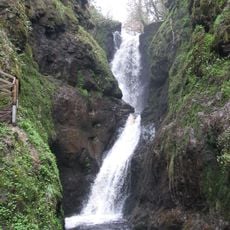
Ess na Larach
12.7 km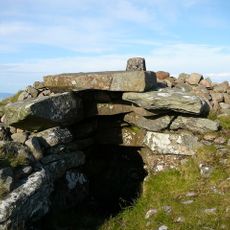
Carnanmore
6.9 km
Knocklayd
13.9 km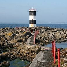
Rue Point Lighthouse
17.6 km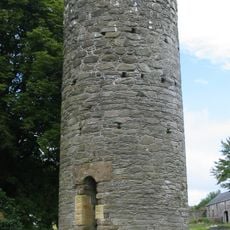
Armoy Round Tower and Church
17.1 km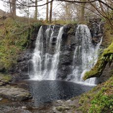
Ess-Na-Crub Waterfall
12.5 km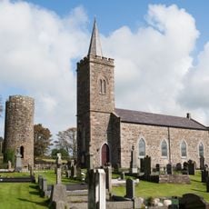
St Olcan's RC Church
16.4 km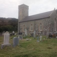
Saint Thomas' (cofi) Church Rathlin Island
21.2 km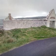
Kelp and grain Store
20.4 km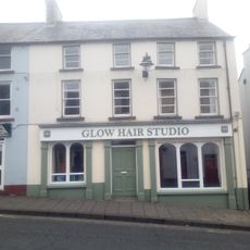
80 Castle Street Ballycastle
15.8 km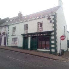
Sharpe & Mckinley
15.7 km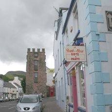
Turnly's Tower Cushendall Co.antrim
5.1 km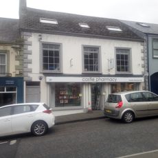
39-39B Castle Street Ballycastle
15.9 km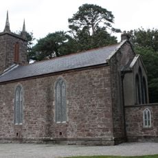
Cushendun old church
1.4 km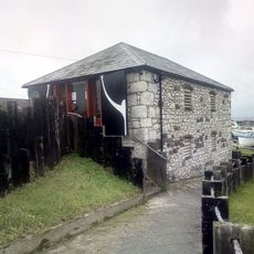
Boat House
20.8 km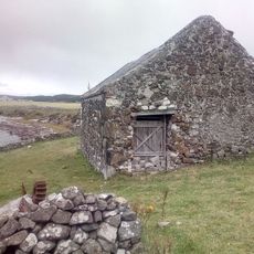
Rathin Island's Mill
20.1 km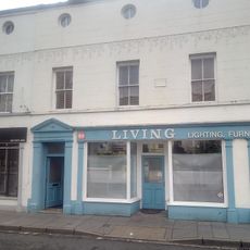
51-57 Ann Street Ballycastle
15.7 km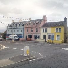
5 Quay Road Ballycastle
15.7 km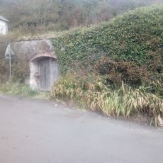
Coal Yard of Rathlin Manor House
21 km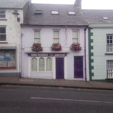
70 Castle Street Ballycastle
15.8 km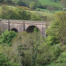
Glendun Viaduct
3.4 km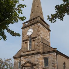
Holy Trinity Church
15.6 kmReviews
Visited this place? Tap the stars to rate it and share your experience / photos with the community! Try now! You can cancel it anytime.
Discover hidden gems everywhere you go!
From secret cafés to breathtaking viewpoints, skip the crowded tourist spots and find places that match your style. Our app makes it easy with voice search, smart filtering, route optimization, and insider tips from travelers worldwide. Download now for the complete mobile experience.

A unique approach to discovering new places❞
— Le Figaro
All the places worth exploring❞
— France Info
A tailor-made excursion in just a few clicks❞
— 20 Minutes