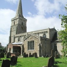
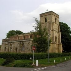
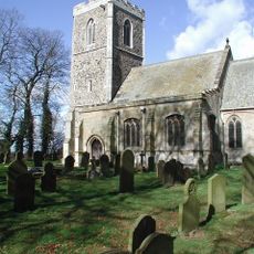
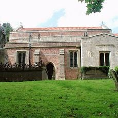
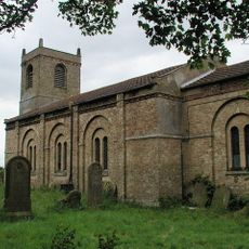
Roos, Administrative division in East Riding of Yorkshire, England.
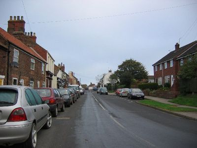
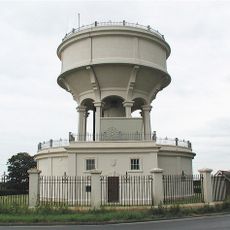
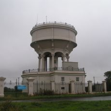
Roos is an administrative division within East Riding of Yorkshire that serves as a local governance unit for the community. It handles coordination of public services and management of community affairs across the area.
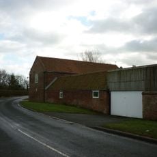
The settlement traces its roots to medieval times when it functioned as an agricultural community in the region. Its administrative structure evolved through successive reforms in English local governance over the centuries.
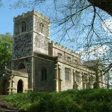
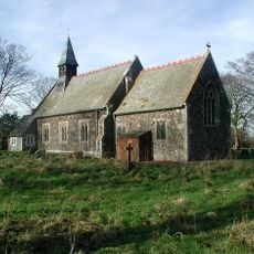
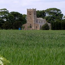
Local residents maintain traditional English village customs through regular community meetings and seasonal celebrations at the village community center.
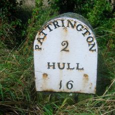
The area is best reached by following local roads from nearby towns and watching for local signage. The administrative offices are typically accessible during standard business hours and provide information about community services.
The village administration operates at coordinates 53.7522749, -0.0446932, marking its position as a defined governmental entity in Yorkshire's administrative framework.
Location: East Riding of Yorkshire
GPS coordinates: 53.75227,-0.04469
Latest update: December 8, 2025 13:40
Withernsea Lighthouse
5.4 km
Church of All Saints
599 m
Church of St Lawrence
5.8 km
Church of Saint Peter
7.9 km
Church of St Wilfred
6.2 km
Church of St Matthew
5.3 km
Church of Saint Peter and Saint Paul
3.9 km
Church of All Saints
6.6 km
Church of St Nicholas
6.5 km
Church of All Saints
2.3 km
Church of St Michael
5.6 km
Church of St Nicholas
5.8 km
Church of Saint Bartholomew
9.7 km
Church of All Saints
3.3 km
Church of St Germain
6.5 km
Church of St Mary
2.6 km
Windmill Tower At Mill Nurseries
6.2 km
Rimswell Water Tower
2.9 km
Constable Mausoleum
3.1 km
Windmill
4.7 km
Windmill Tower Approximately 20 Metres South West Of Mill House
6.5 km
Withernsea Old War Memorial
6 km
Gate, Flanking Walls And Railings Approximately 10 Metres West Of Rimswell Water Tower
2.9 km
Milestone Approximately 130 Metres East Of Beck Bridge
6.1 km
Milestone Approximately 30 Metres North West Of Junction With Winestead Ings Lane
6.2 km
Admiral Storr's Tower (Hilston Mount)
3.7 km
Base Of St Philip's Cross Approximately 10 Centimetres East Of Ebor House
6.5 km
Blue Hall
6.1 kmVisited this place? Tap the stars to rate it and share your experience / photos with the community! Try now! You can cancel it anytime.
Discover hidden gems everywhere you go!
From secret cafés to breathtaking viewpoints, skip the crowded tourist spots and find places that match your style. Our app makes it easy with voice search, smart filtering, route optimization, and insider tips from travelers worldwide. Download now for the complete mobile experience.
A unique approach to discovering new places❞
— Le Figaro
All the places worth exploring❞
— France Info
A tailor-made excursion in just a few clicks❞
— 20 Minutes