
Wood Dalling, village in United Kingdom
Location: Broadland
Website: https://wooddallingpc.norfolkparishes.gov.uk/
Website: https://wooddallingpc.norfolkparishes.gov.uk
GPS coordinates: 52.80522,1.09868
Latest update: March 25, 2025 03:34
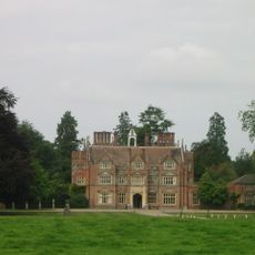
Heydon Hall
2.7 km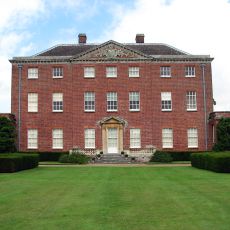
Salle Park
4 km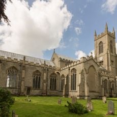
Church of Saints Peter and Paul
3.4 km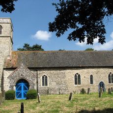
Church of St Andrew
4.7 km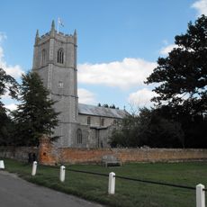
Church of St Peter and St Paul
2.4 km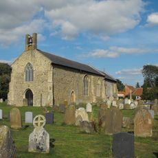
Church of All Saints
5.7 km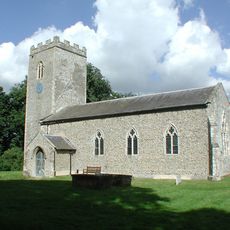
Church of St Andrew
2.1 km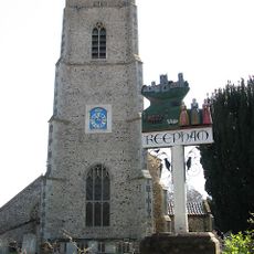
Church of St Michael and All Angels
4.9 km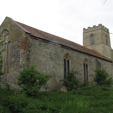
Church of St Peter
3.1 km
Church of St Andrew
3.9 km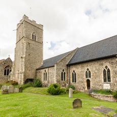
Church of the Nativity of St Mary
4.9 km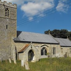
Church of St Peter and St Paul
4.8 km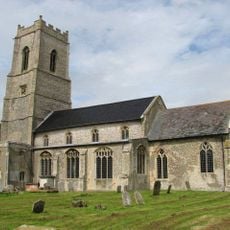
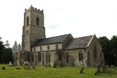
Church of St Andrew
592 m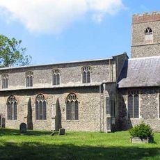
Church of St Peter
2.9 km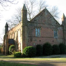
Congregational Chapel
2.9 km
The Old Brewery House, Gates And Railings
4.8 km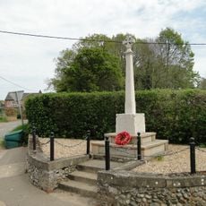
Hindolveston War Memorial
5.5 km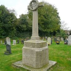
Briston War Memorial
5.7 km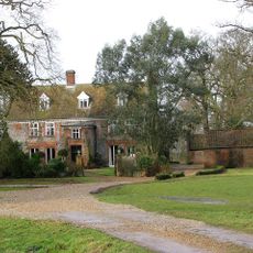
Moor Hall
3.1 km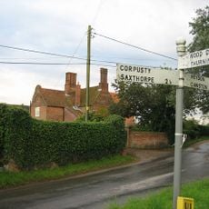
Cropton Hall
2 km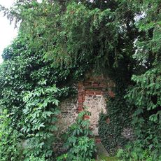
Fragment. Church Of All Saints. 14 Metres South West Of St Michaels Church
4.9 km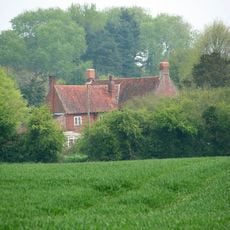
Old Hall
3.4 km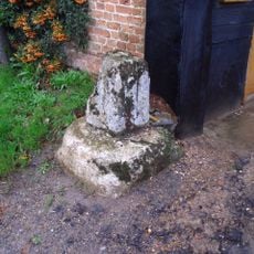
Wayside cross at Page's Farm
1.5 km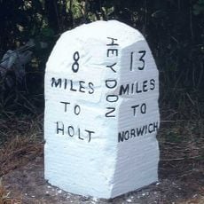
Milestone, c.250yds S of lodge to Heydon Hall
3.9 km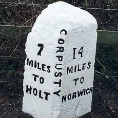
Milestone, on bend c.1/2m S of Corpusty church
3.1 km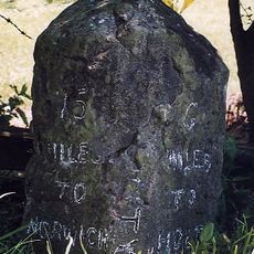
Milestone, opp. sign for rd narrows and bridge weight limit
3.6 km
Milestone, 15yds E of white iron gate into Salle Park
4.1 km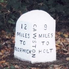
Milestone, 3yds N of jct with rd to Heydon
5.2 kmReviews
Visited this place? Tap the stars to rate it and share your experience / photos with the community! Try now! You can cancel it anytime.
Discover hidden gems everywhere you go!
From secret cafés to breathtaking viewpoints, skip the crowded tourist spots and find places that match your style. Our app makes it easy with voice search, smart filtering, route optimization, and insider tips from travelers worldwide. Download now for the complete mobile experience.

A unique approach to discovering new places❞
— Le Figaro
All the places worth exploring❞
— France Info
A tailor-made excursion in just a few clicks❞
— 20 Minutes