Ludgershall, Administrative division in Wiltshire, England
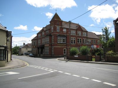
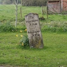
Ludgershall is an administrative division in northeastern Wiltshire that extends between Devizes and Andover. The area comprises several settlements and is crossed by the A342, which serves as the main road connection through the region.
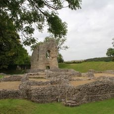
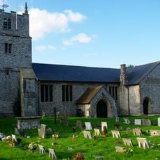
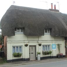
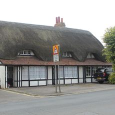
The area has settlement patterns from the Bronze Age and first appeared in written records during the Domesday Book survey of 1086. This early documentation shows that settlements here were established communities worthy of recording by Norman authorities.
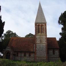
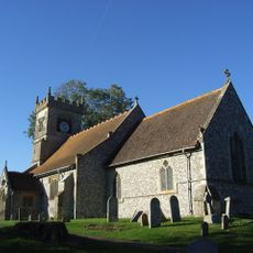
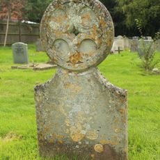
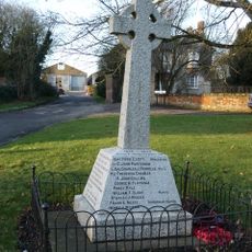
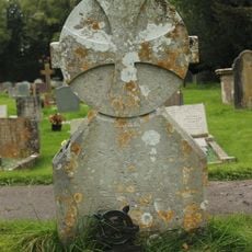
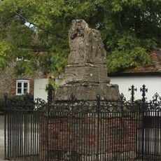
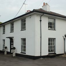
The Ludgershall Cross marks the heart of the settlement and reflects how the community gathered and organized itself through the centuries. This 14th-century structure shows where local life centered and continues to draw people together.
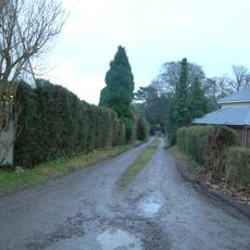
The area is easily reached via the A342, which connects it to surrounding towns and provides direct access for visitors. The best time to explore is during regular business hours, when public services and local facilities are available.
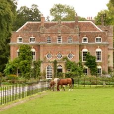
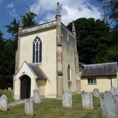
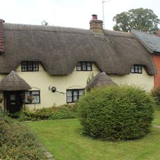
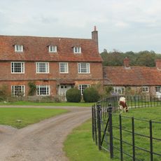
The area includes the settlement of Faberstown and the hamlet of Biddesden, which is home to an Arabian horse stud farm. This equestrian operation is an unexpected feature of rural life here and demonstrates how the countryside supports diverse activities.
Location: Wiltshire
Website: http://ludgershalltc.org.uk
GPS coordinates: 51.25696,-1.62337
Latest update: December 8, 2025 13:43
Biddesden House
3.3 km
Redenham Park
3.4 km
St Mary's Church, Chute Forest
4.7 km
Ludgershall Castle
239 m
Church of St Peter in the Wood
4.4 km
Church of St Andrew
3.5 km
The Crown Inn
130 m
Church of St James
83 m
Milestone Approximately 30 Metres South Of Church Street Junction
3.4 km
Blue Lion Inn
3.5 km
Tidworth Library
3.4 km
Queens Head Public House
106 m
Unidentified Monument In Churchyard, Approximately 16 Metres South Of South Porch, Church Of St James
96 m
Collingbourne Ducis War Memorial
3.5 km
Unidentified Monument In Churchyard, Approximately 13 Metres South Of Tower, Church Of St James
115 m
The Thatched Cottage
136 m
Biddesden Farmhouse
2.6 km
15, 17 And 19, Castle Street
86 m
Chute Lodge
4.6 km
1 and 3, Castle Street
53 m
Ludgershall village cross
77 m
Milestone 1 Mile West Of Ludgershall Village
688 m
Milestone 80 Metres South Of Cadley Road Junction
3 km
Milestone On Sunnyhill Down
2.3 km
27, Tidworth Road
174 m
Milestone, Andover Lane Farm
2.4 km
Milestone 100 Metres North Of Junction With A346
1.9 km
Milestone, East Lodge
3.8 kmVisited this place? Tap the stars to rate it and share your experience / photos with the community! Try now! You can cancel it anytime.
Discover hidden gems everywhere you go!
From secret cafés to breathtaking viewpoints, skip the crowded tourist spots and find places that match your style. Our app makes it easy with voice search, smart filtering, route optimization, and insider tips from travelers worldwide. Download now for the complete mobile experience.
A unique approach to discovering new places❞
— Le Figaro
All the places worth exploring❞
— France Info
A tailor-made excursion in just a few clicks❞
— 20 Minutes