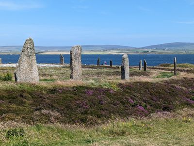
Ring of Brodgar, Neolithic stone circle in Orkney Islands, Scotland
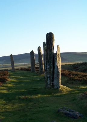
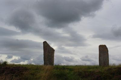
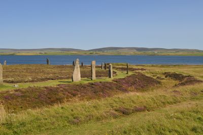
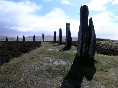
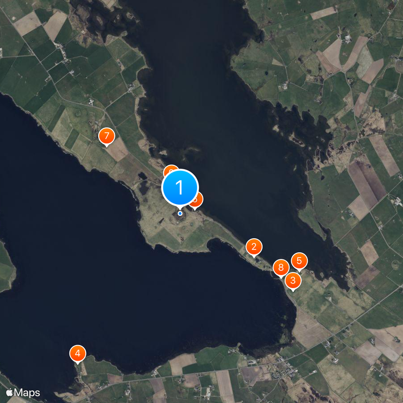
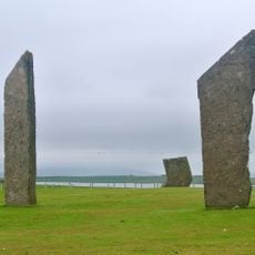
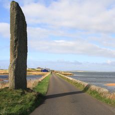
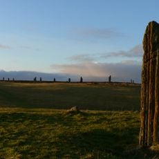
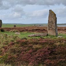
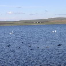
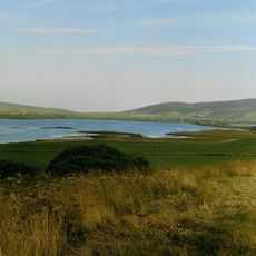
The Ring of Brodgar is a stone circle measuring about 104 meters across, surrounded by a deep rock-cut ditch between two lochs. Of the original 60 standing stones, 27 remain upright in their original positions today.
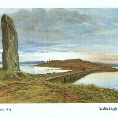
The circle was built around 2500 BCE during the Neolithic period and belongs to a series of major stone monuments on the Orkney Islands. This era was crucial for the development of complex societies in northern Scotland.
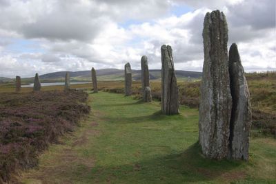
The stone circle is part of a World Heritage site and shows how Neolithic people shaped and used their land. Visitors can sense the purpose today – this was clearly a place where communities gathered together for important occasions.
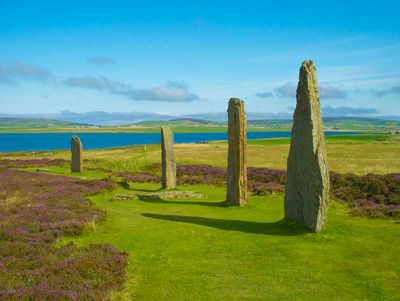
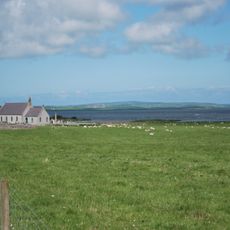
The site is accessible year-round, with level paths that make it easy to explore. The location is remote, so plan to spend time here and come prepared for changing weather.
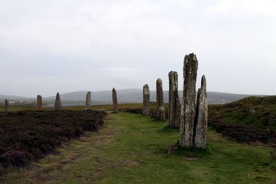
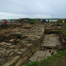
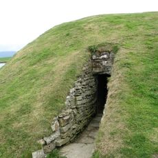
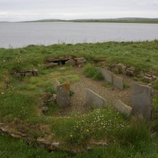
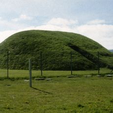
Excavations nearby uncovered a massive stone wall about 100 meters long and 6 meters high, revealing that large building structures once stood here. This discovery changed our understanding of how complex Neolithic life actually was.
Location: Orkney Islands
Location: Stenness
Accessibility: Wheelchair accessible
Part of: Heart of Neolithic Orkney
GPS coordinates: 59.00148,-3.22972
Latest update: December 14, 2025 19:32
Ness of Brodgar
941 m
Stones of Stenness
1.5 km
Unstan Chambered Cairn
2 km
Barnhouse Settlement
1.5 kmFresh Knowe
170 mBookan Cairn
1.1 km
Watch Stone
1.3 kmEnclosure at Sandwick
353 m
Comet Stone
187 m
Ness of Brodgar
933 m
Stenness Church
1.9 km
Knowe of Onston,or Unstan,chambered cairn
2 km
Burrian,broch W shore of Loch of Harray
2.1 km
Brodgar RSPB Reserve
196 m
Buckan, enclosure 150m N of
1.7 km
Bridge of Brodgar
1.2 kmLochview, standing stones and cairn SE of
1.1 kmNess, mound 140m NW of, Grimeston
1.9 kmBig Howe, broch 260m WNW of Stenness Church
1.6 kmWasbister, burial mounds and settlement 650m SE of Buckan Cottage
724 mLittle Barnhouse, mound, 160m NE of
1.9 kmSkae Frue, mound 300m SW of Buckan
1.6 kmWasbister, Stenness - Sandwick parish boundary, earthwork
518 mWasbister, mounds SSE of The Brecks
1.2 kmMainland, Point of Onston
2 km
Loch of Stenness
1.2 kmRing of Bookan,chambered cairn 180m SW of Bookan
1.6 kmScenic viewpoint
1.8 kmVisited this place? Tap the stars to rate it and share your experience / photos with the community! Try now! You can cancel it anytime.
Discover hidden gems everywhere you go!
From secret cafés to breathtaking viewpoints, skip the crowded tourist spots and find places that match your style. Our app makes it easy with voice search, smart filtering, route optimization, and insider tips from travelers worldwide. Download now for the complete mobile experience.
A unique approach to discovering new places❞
— Le Figaro
All the places worth exploring❞
— France Info
A tailor-made excursion in just a few clicks❞
— 20 Minutes