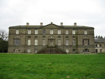
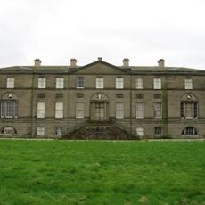
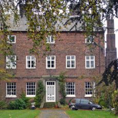
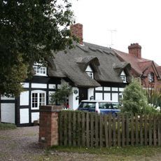
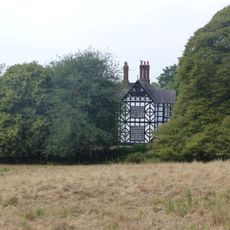
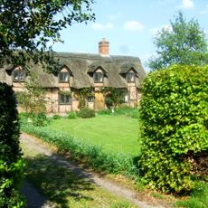
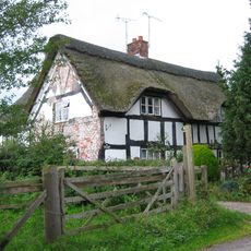
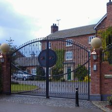
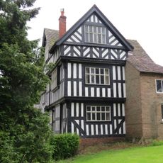
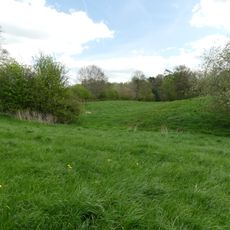
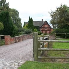
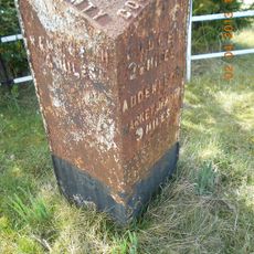
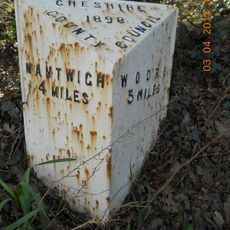
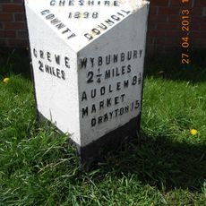
Doddington, civil parish in the unitary authority of Cheshire East, England
Location: Cheshire East
Shares border with: Hunsterson, Checkley cum Wrinehill, Lea, Blakenhall, Walgherton, Hatherton, Bridgemere
GPS coordinates: 53.02700,-2.43800
Latest update: March 10, 2025 05:00
Doddington Hall
1.4 km
Ball Farmhouse
4.4 km
Delves Hall
828 m
Wybunbury Tower
2.2 km
St John's Church, Doddington
1.6 km
Hankelow Hall
4.1 km
Stapeley House
4.5 km
Checkley Hall
3 km
St Chad's Church, Wybunbury (new)
2.3 km
Moated site 300m SE of St Chad's Church
1.8 km
The Swan Inn
2.2 km
Thatchers
1.7 km
The Cliffe
1.5 km
Wybunbury War Memorial
2.3 km
Hallgates Cottage
3.1 km
Yewtree Cottage
2 km
Pewit Hall
3.5 km
Bank House
2.7 km
Lea Hall
1.3 km
Hall Bank moated site, Wybunbury
2.1 km
Brownmoss Farmhouse
2.6 km
Milepost, Oakes Corner
2.6 km
Milepost, Walgherton
1.4 km
Milepost, opp. Greenfields
3.2 km
Milepost, Birchall Bridge
3.7 km
Milepost, S of Stapeley House
4.4 km
Milepost, Howbeck Farm
2.9 km
Milepost, High Street, nr Shavington village school
4.2 kmReviews
Visited this place? Tap the stars to rate it and share your experience / photos with the community! Try now! You can cancel it anytime.
Discover hidden gems everywhere you go!
From secret cafés to breathtaking viewpoints, skip the crowded tourist spots and find places that match your style. Our app makes it easy with voice search, smart filtering, route optimization, and insider tips from travelers worldwide. Download now for the complete mobile experience.
A unique approach to discovering new places❞
— Le Figaro
All the places worth exploring❞
— France Info
A tailor-made excursion in just a few clicks❞
— 20 Minutes